Delaware Maps
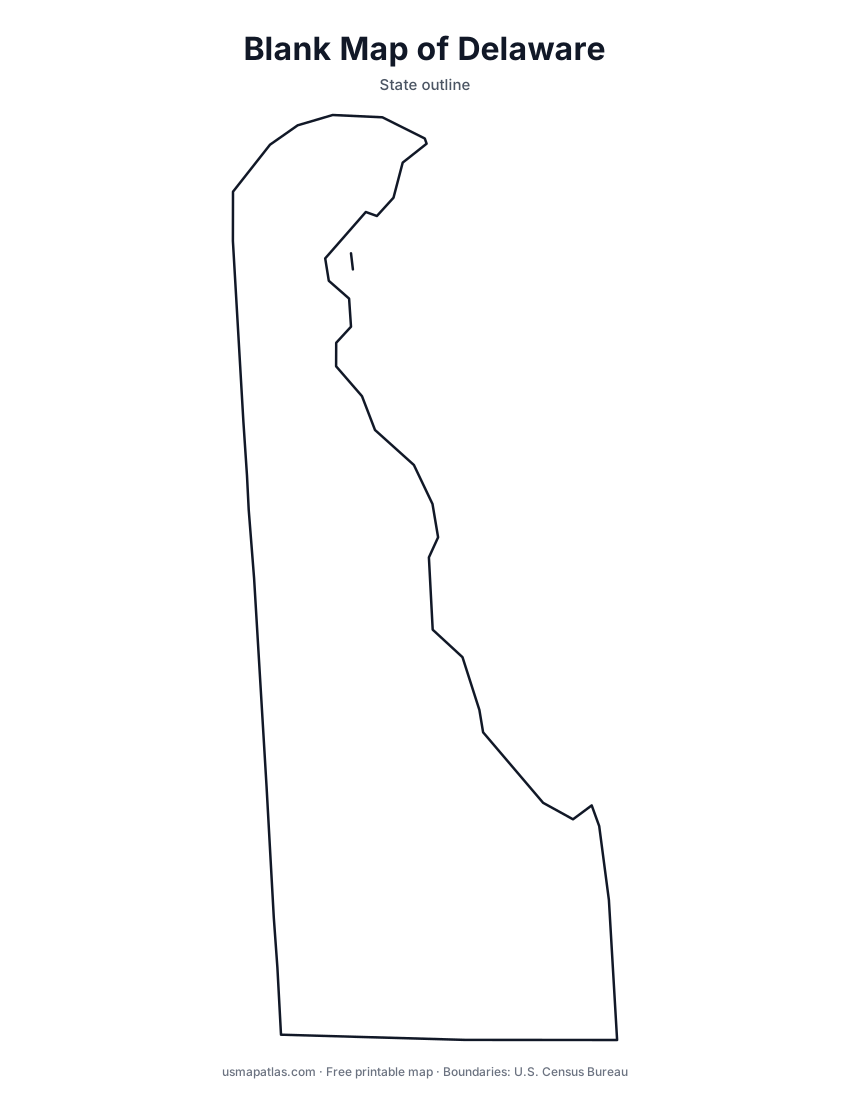
Free printable maps of Delaware: a county map with all 3 counties, the same map with every name labeled, a blank outline, a map with the capital and a location map. Download any of them as PDF, PNG or SVG, along with free Delaware worksheets.

About Delaware
Delaware is the second-smallest state by area. It sits on the Delmarva Peninsula, which it shares with Maryland and Virginia, with Delaware Bay and the Atlantic Ocean along its eastern edge. The land is very flat; even the highest point is under 450 feet. The northern border with Pennsylvania is a curved arc called the Twelve-Mile Circle, centered on the town of New Castle. Delaware has only three counties: New Castle, Kent and Sussex. Dover is the capital, and Wilmington is the largest city.
More printable maps of Delaware




Delaware worksheets
Free printable worksheets for learning about Delaware. Each PDF has the worksheet on page 1 and the answer key on page 2.

Delaware Geography Worksheet
2-page PDF: worksheet and answer key


States That Border Delaware
2-page PDF: worksheet and answer key

List of Delaware counties
All 3 counties of Delaware, in alphabetical order.
- Kent
- New Castle
- Sussex
Frequently asked questions
What is the capital of Delaware?
Dover is the capital of Delaware. The largest city is Wilmington.
How many counties are in Delaware?
Delaware has 3 counties.
What states border Delaware?
Delaware shares a land border with 3 states: Maryland, New Jersey and Pennsylvania.
When did Delaware become a state?
Delaware became a state on December 7, 1787, as the 1st state.