Free printable maps of the United States
Blank maps, county maps, capital maps and location maps for all 50 states, plus the whole country. Every map downloads as a print-ready PDF, a PNG image or an editable SVG.
Select a state on the map to see its maps.
Printable US maps
All US maps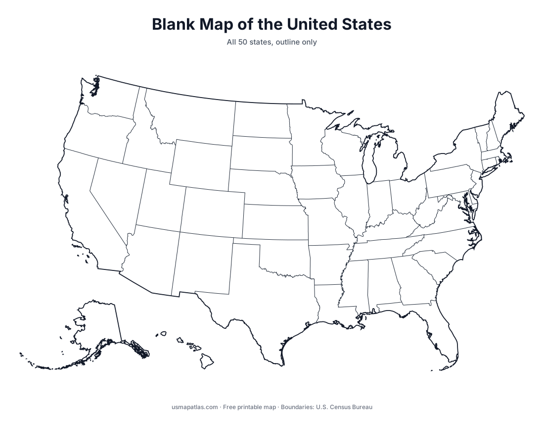
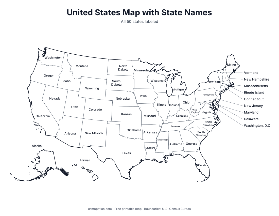
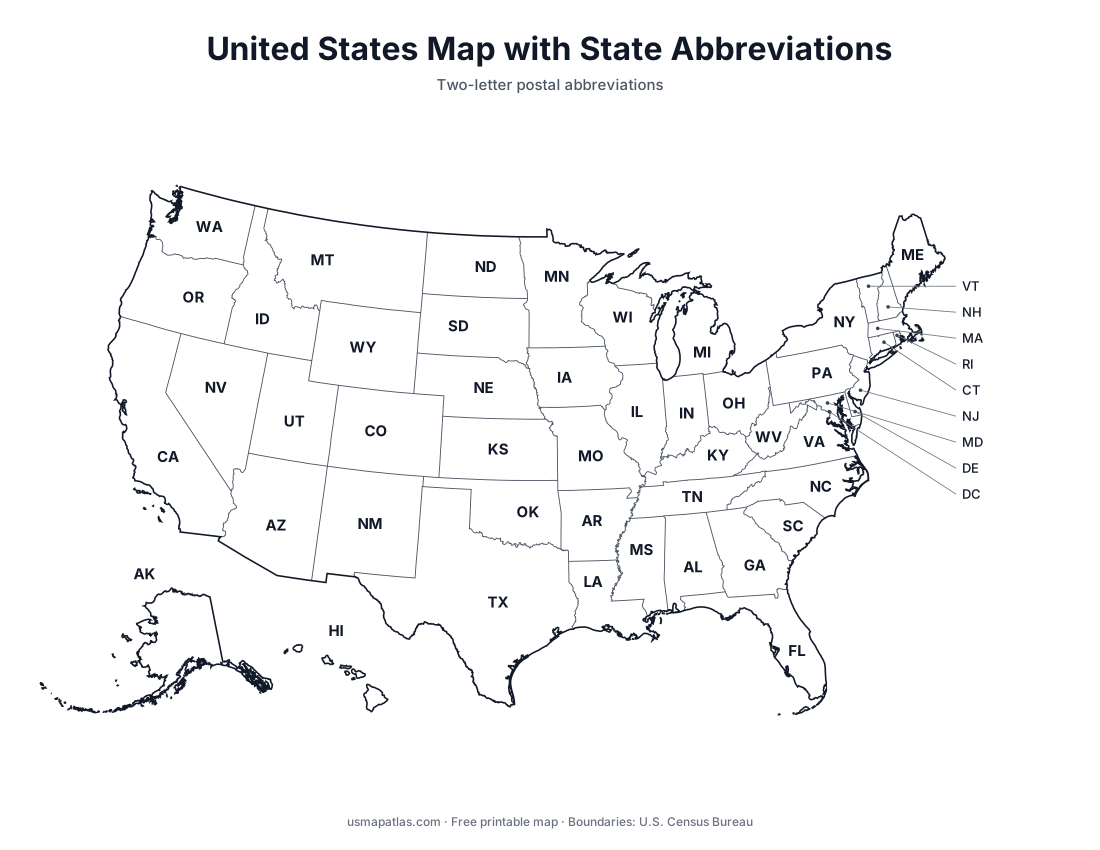
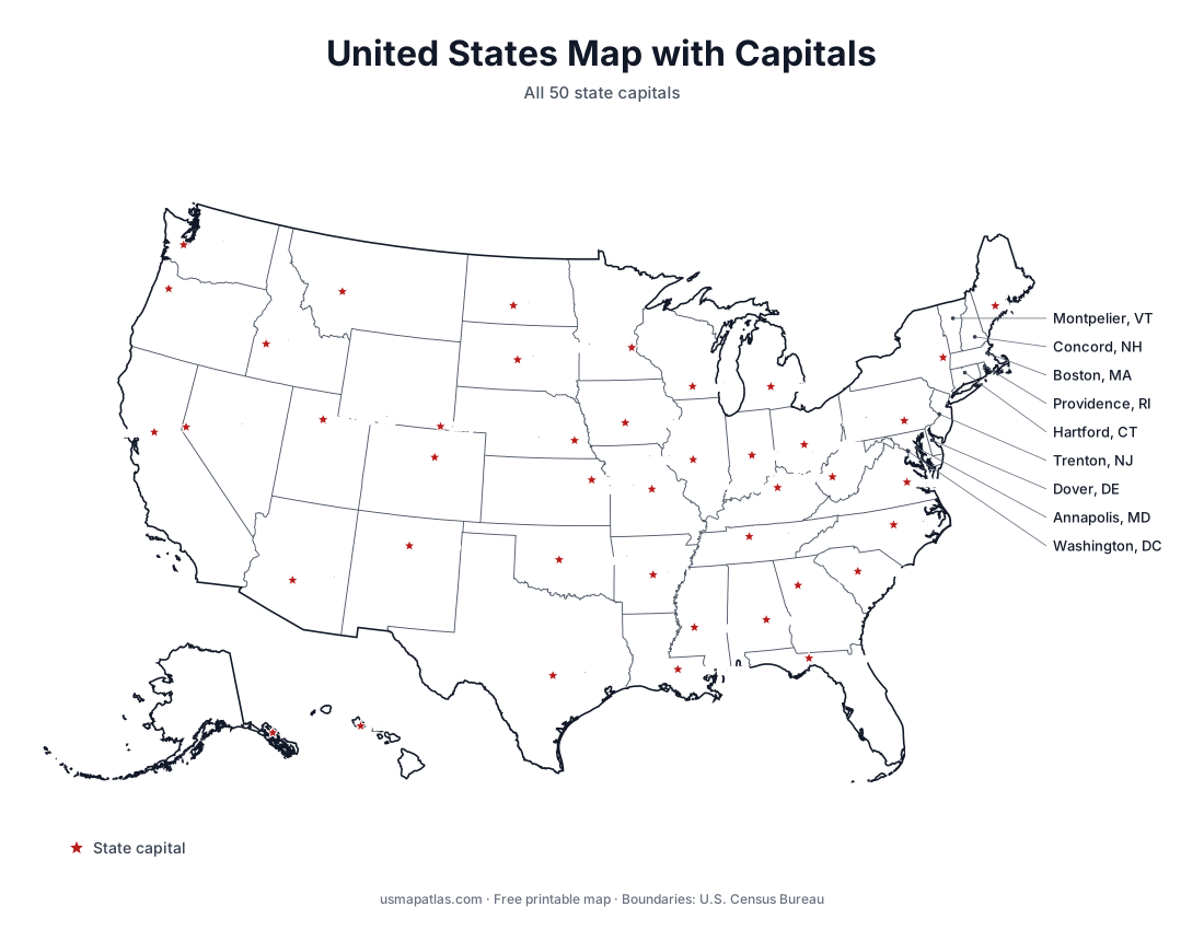
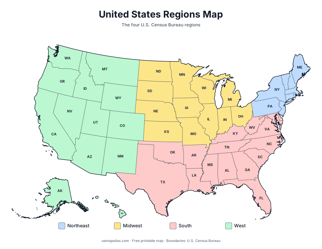
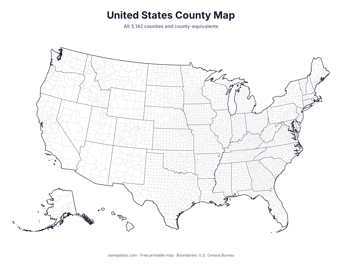
Maps of all 50 states
Each state page has a county map, a county map with names, a blank outline, a capital map and a location map.
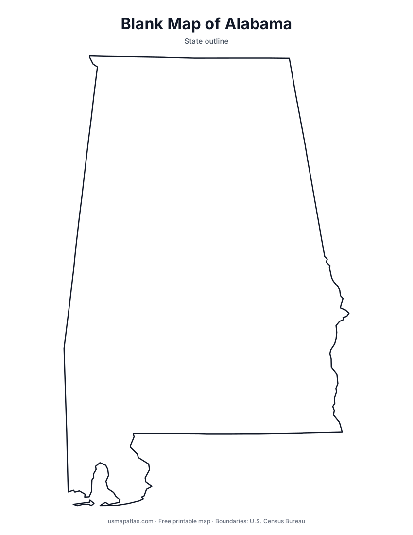
Alabama
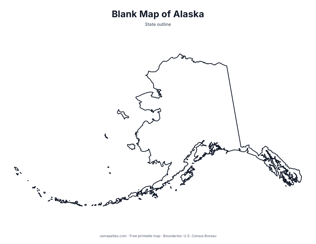
Alaska
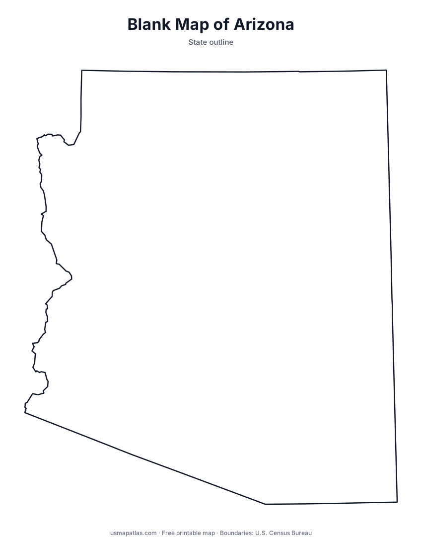
Arizona
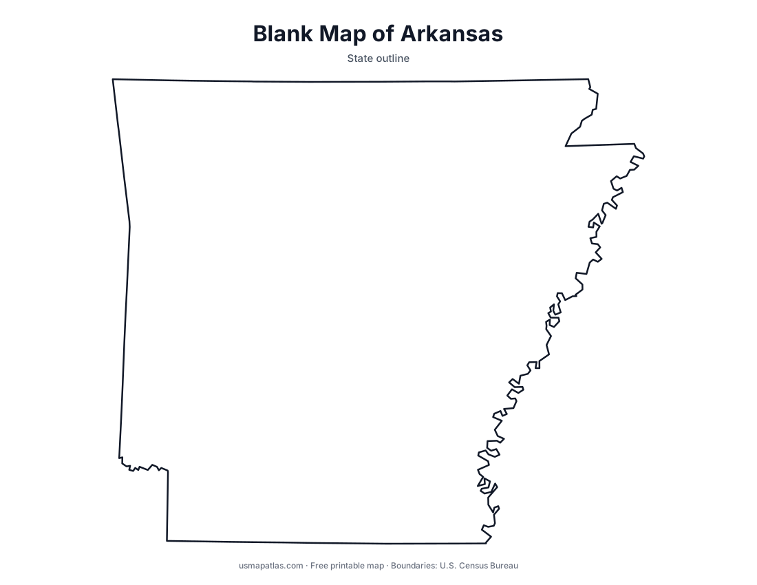
Arkansas
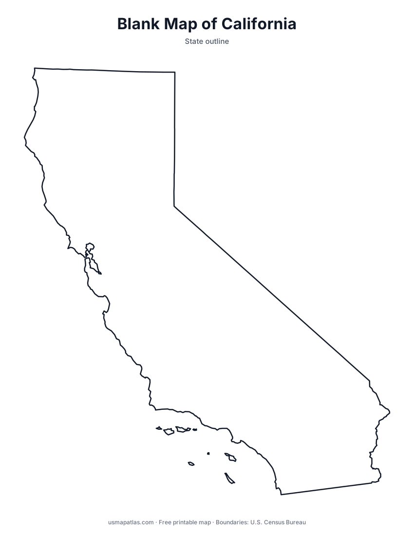
California
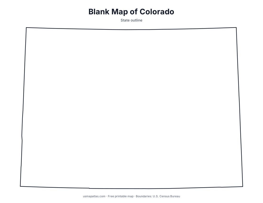
Colorado
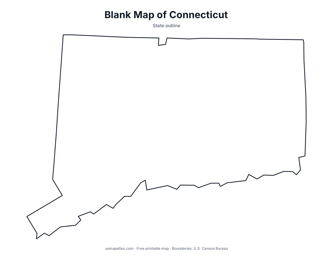
Connecticut
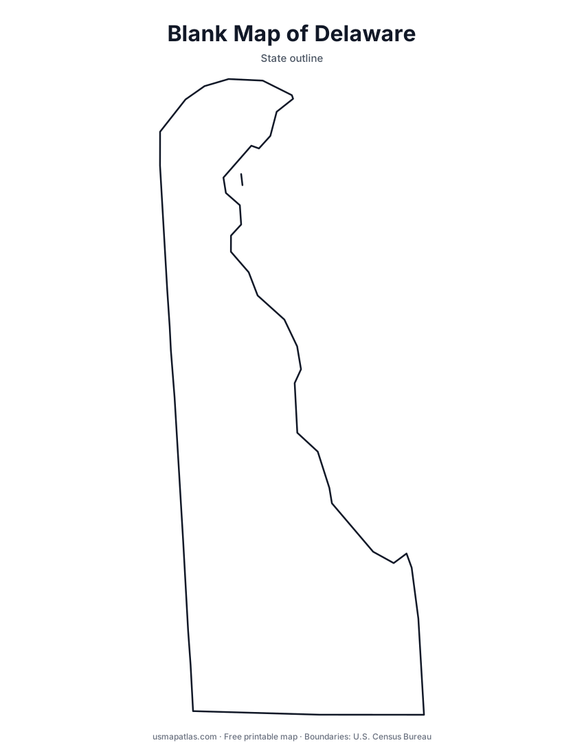
Delaware
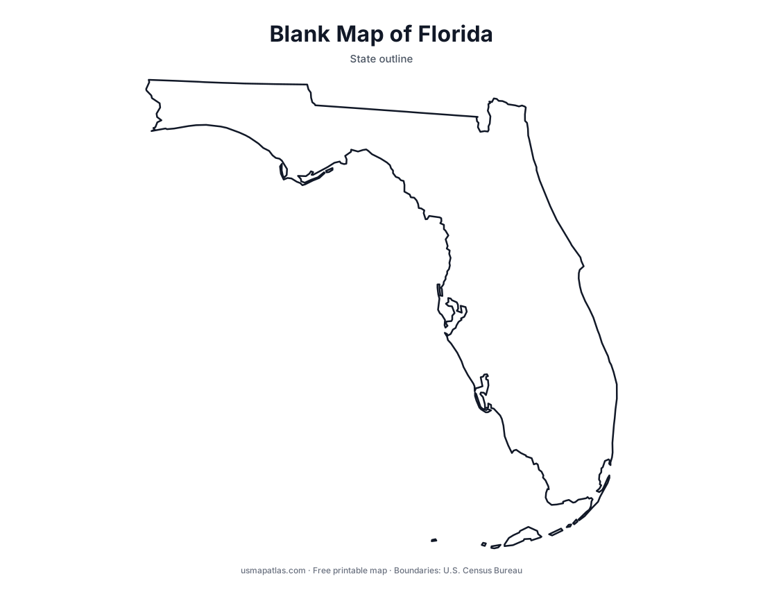
Florida
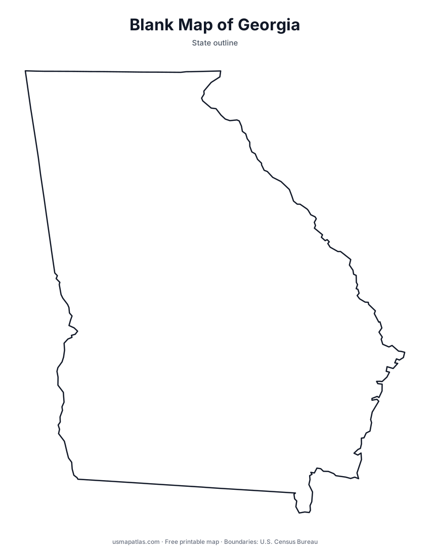
Georgia
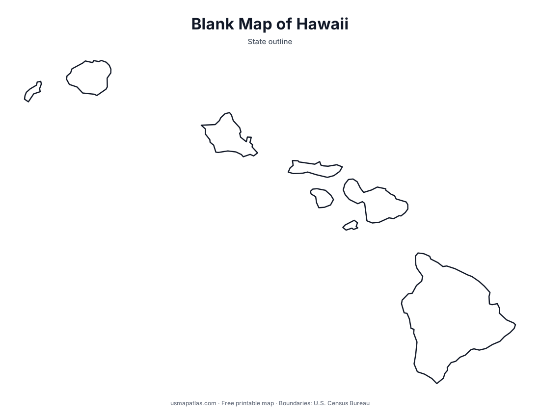
Hawaii
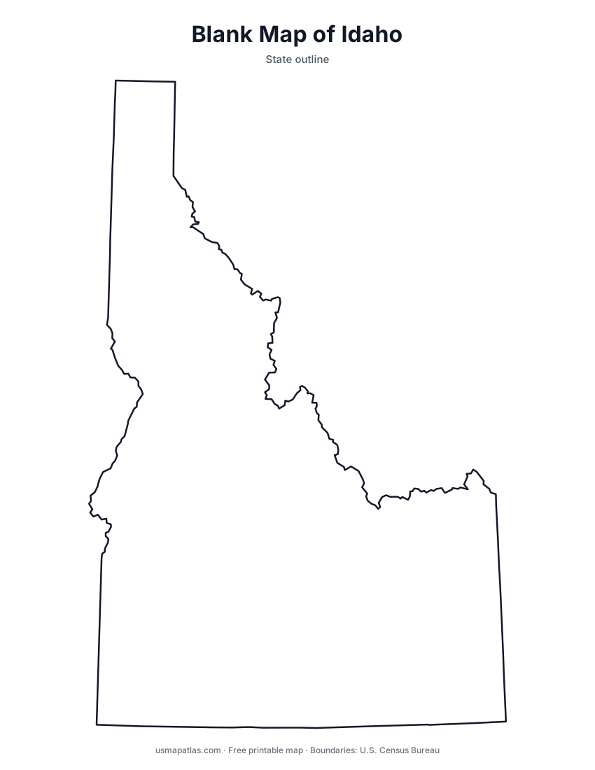
Idaho
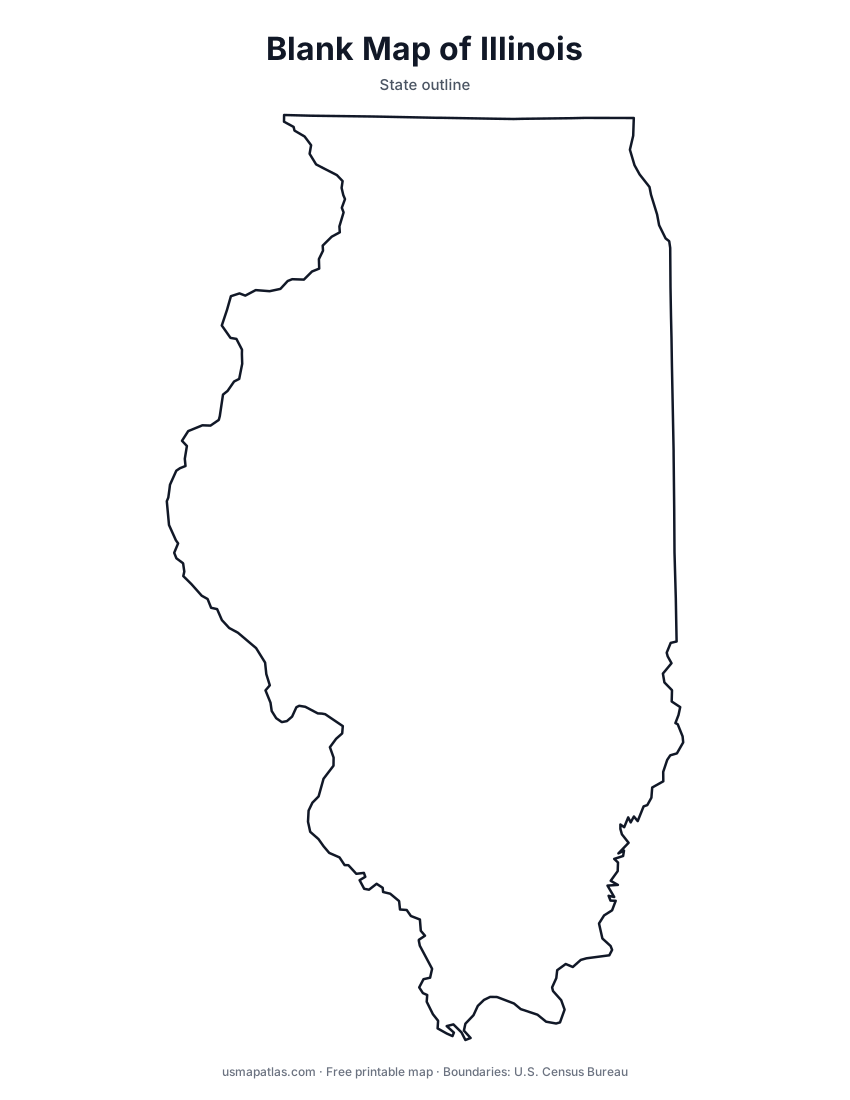
Illinois
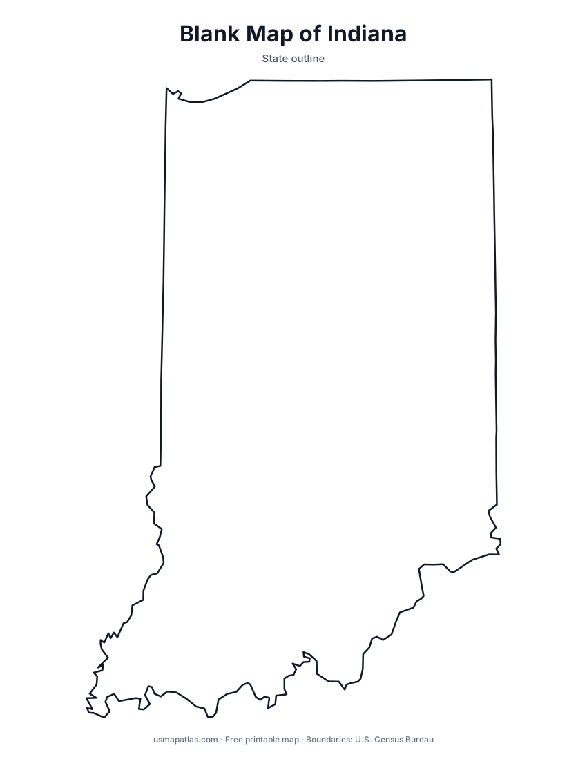
Indiana
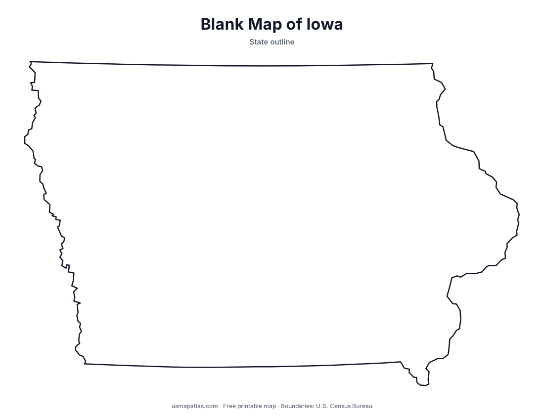
Iowa
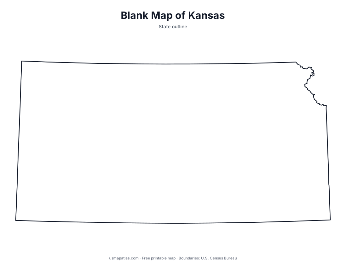
Kansas
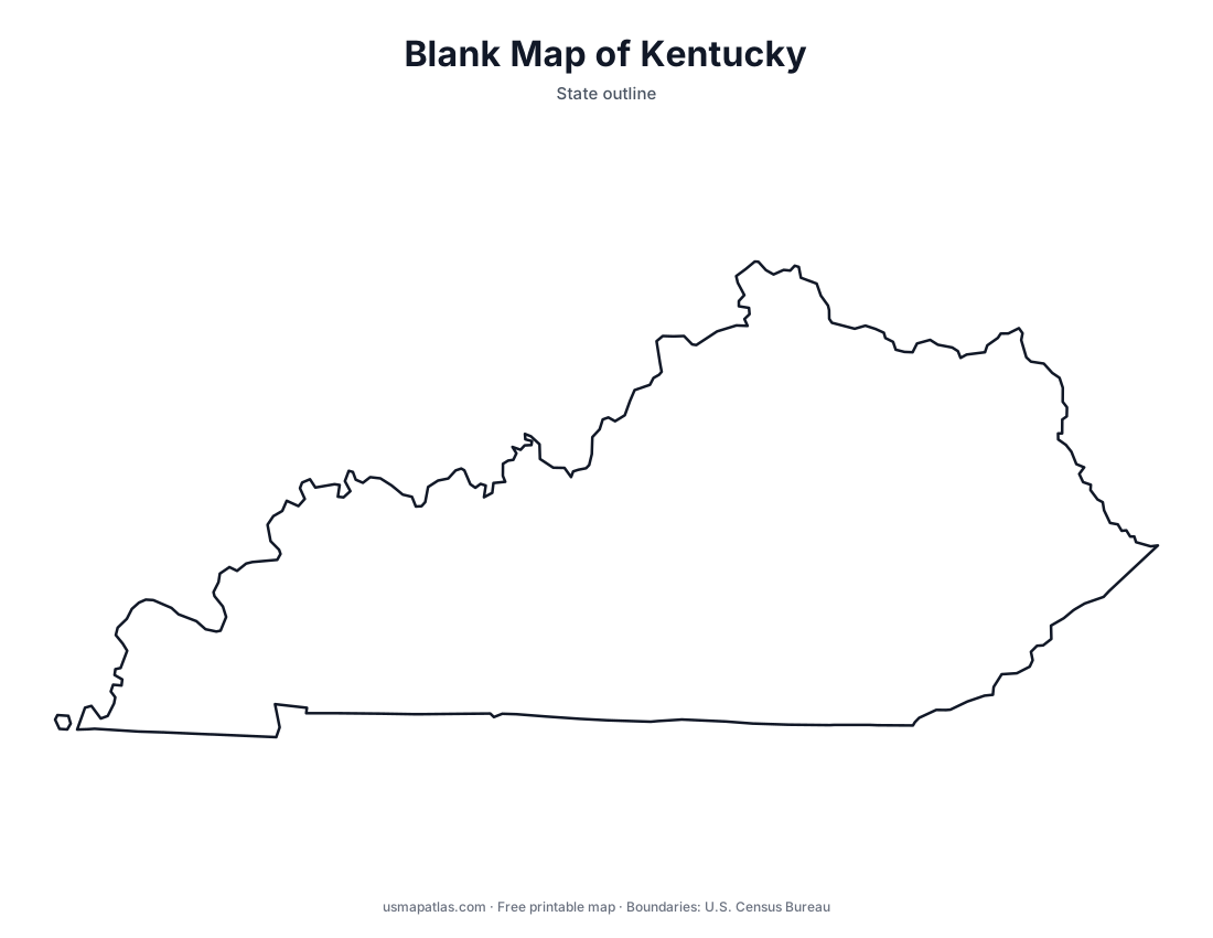
Kentucky
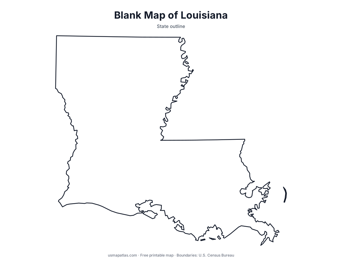
Louisiana
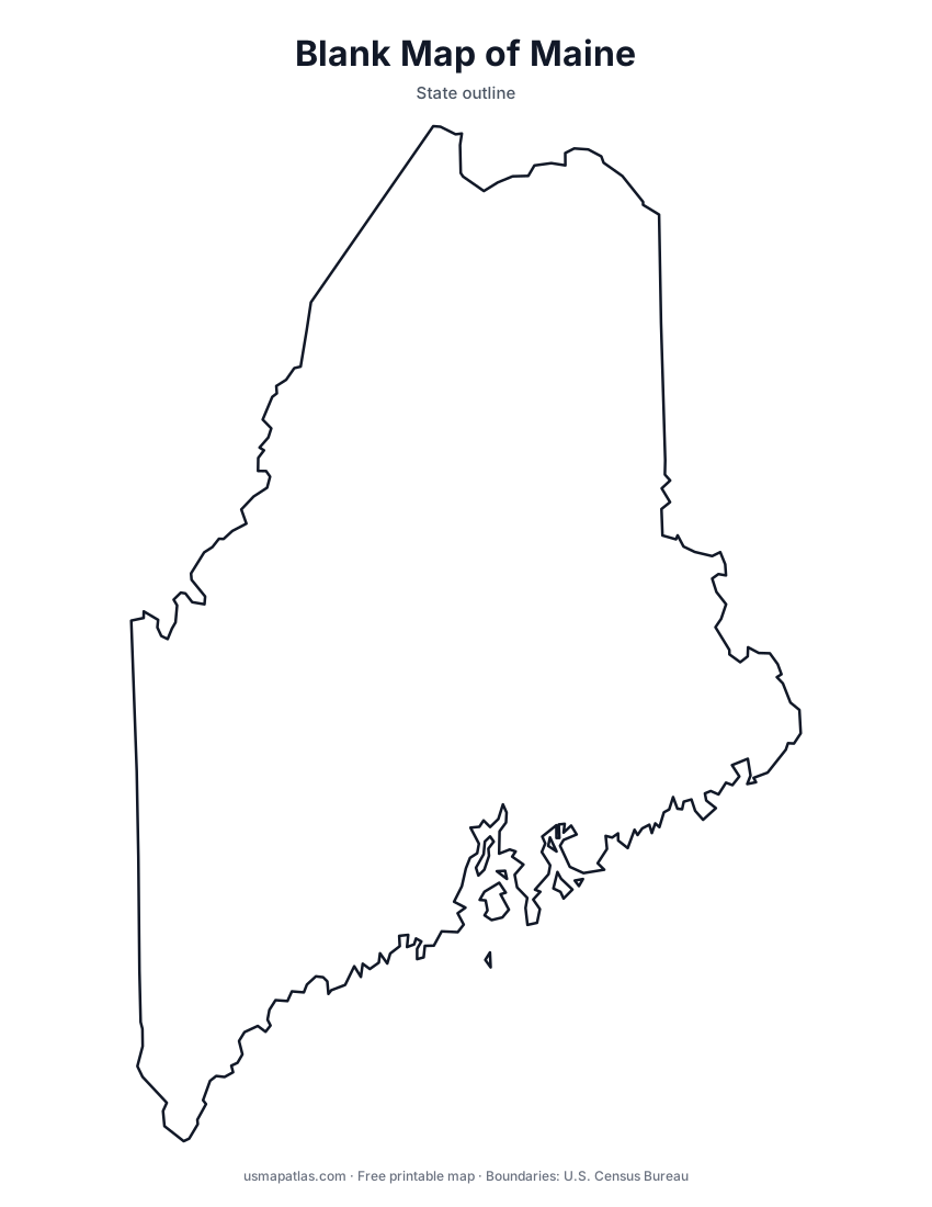
Maine
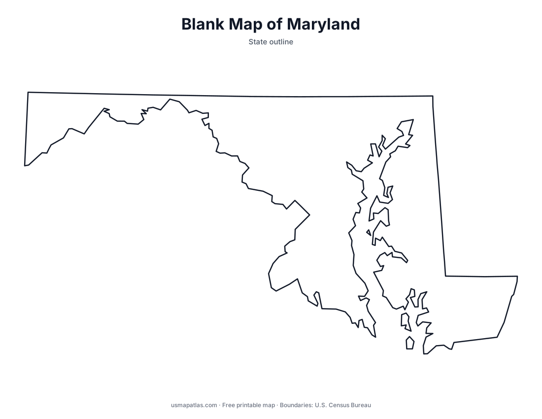
Maryland
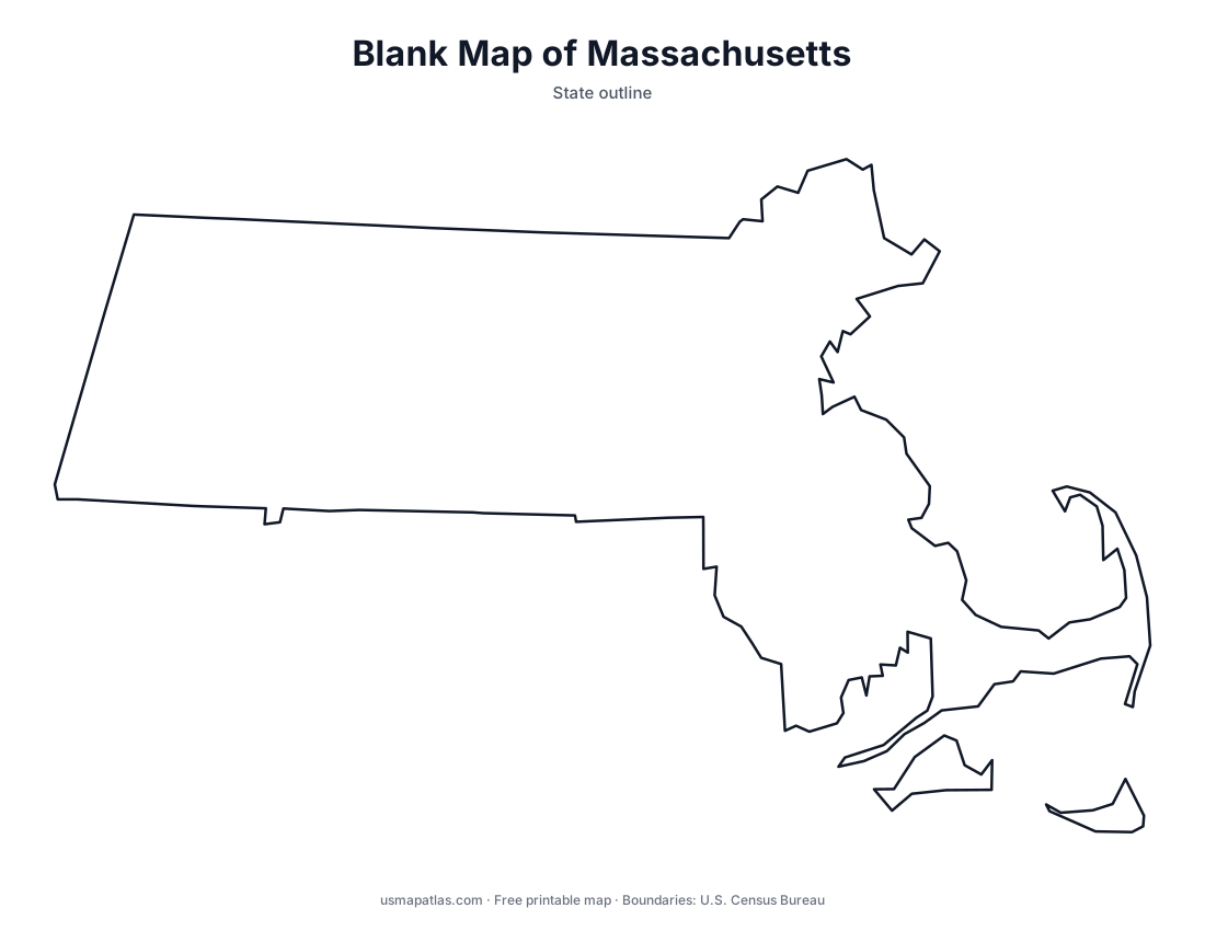
Massachusetts
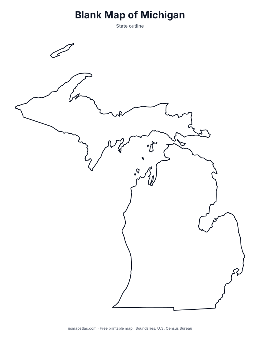
Michigan
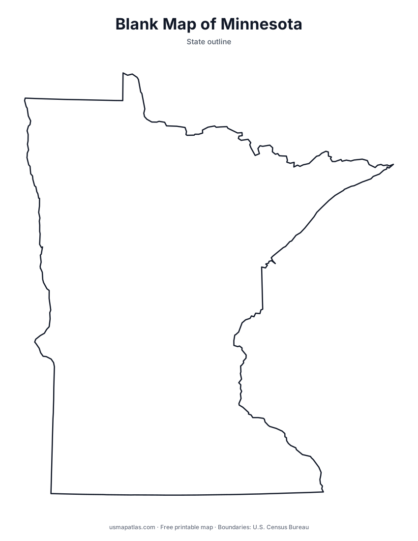
Minnesota
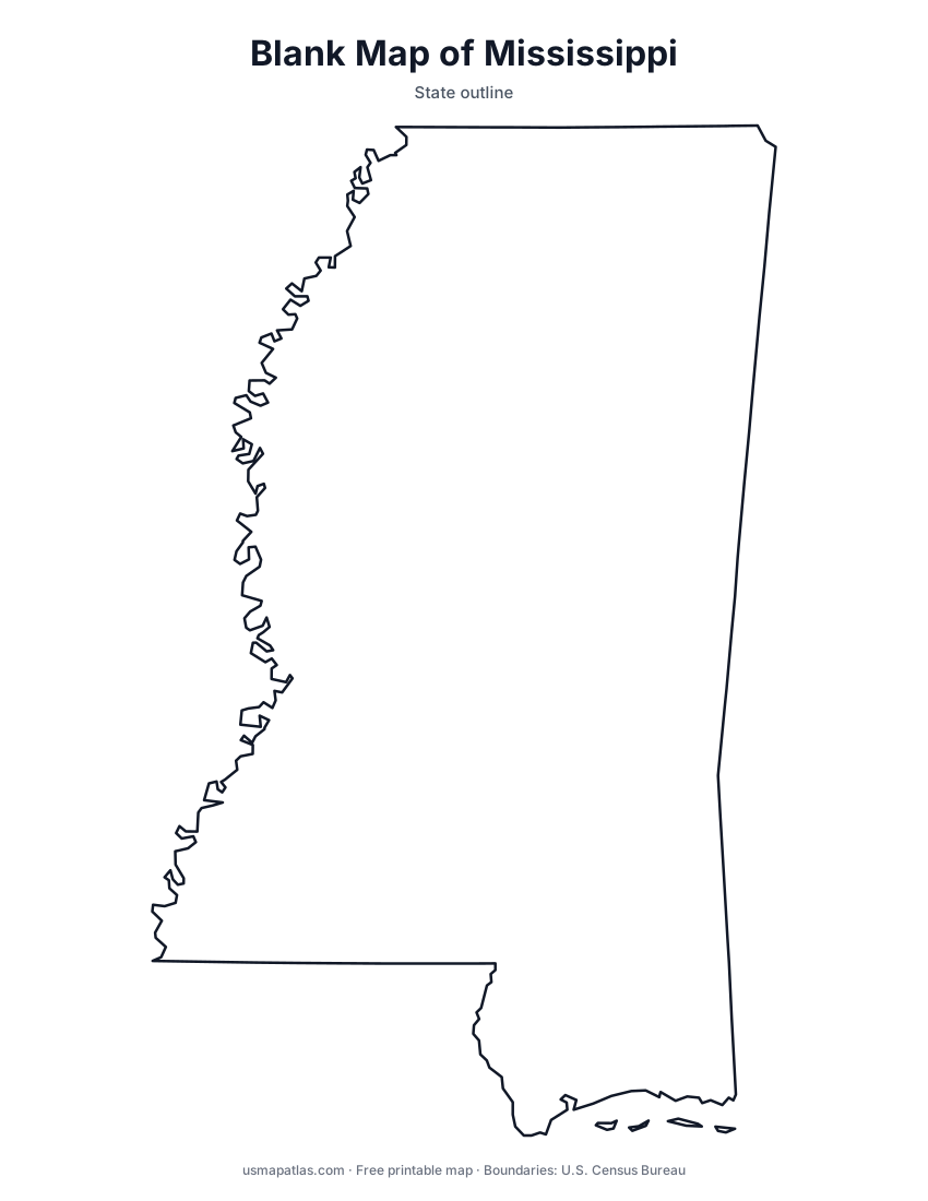
Mississippi
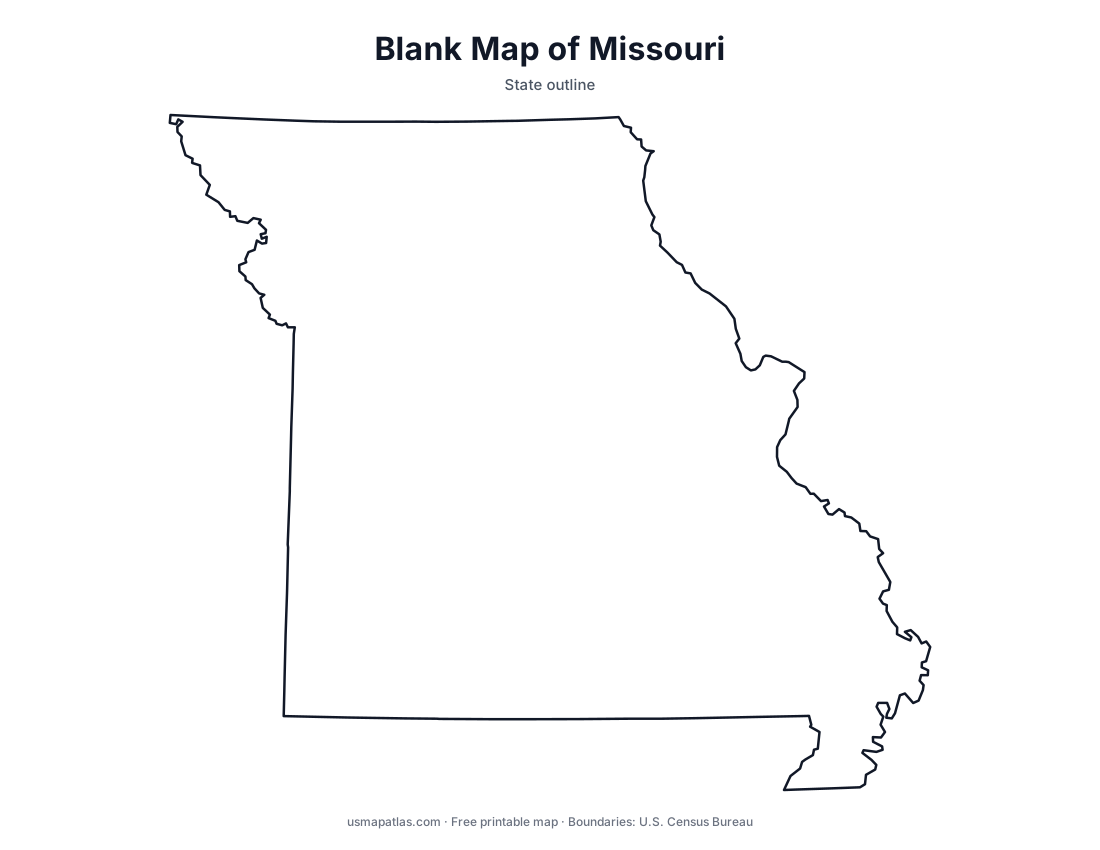
Missouri
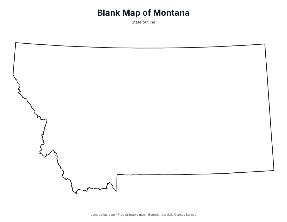
Montana
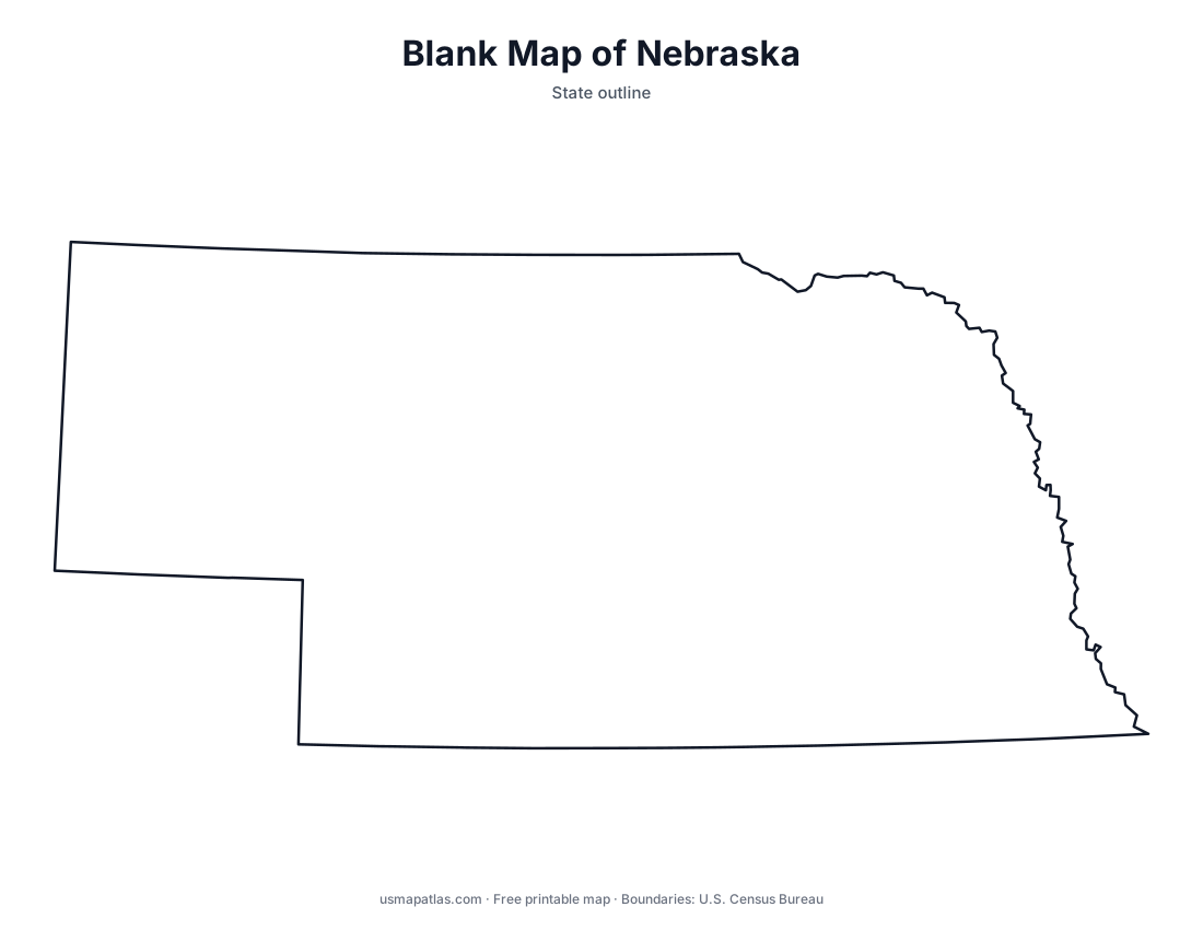
Nebraska
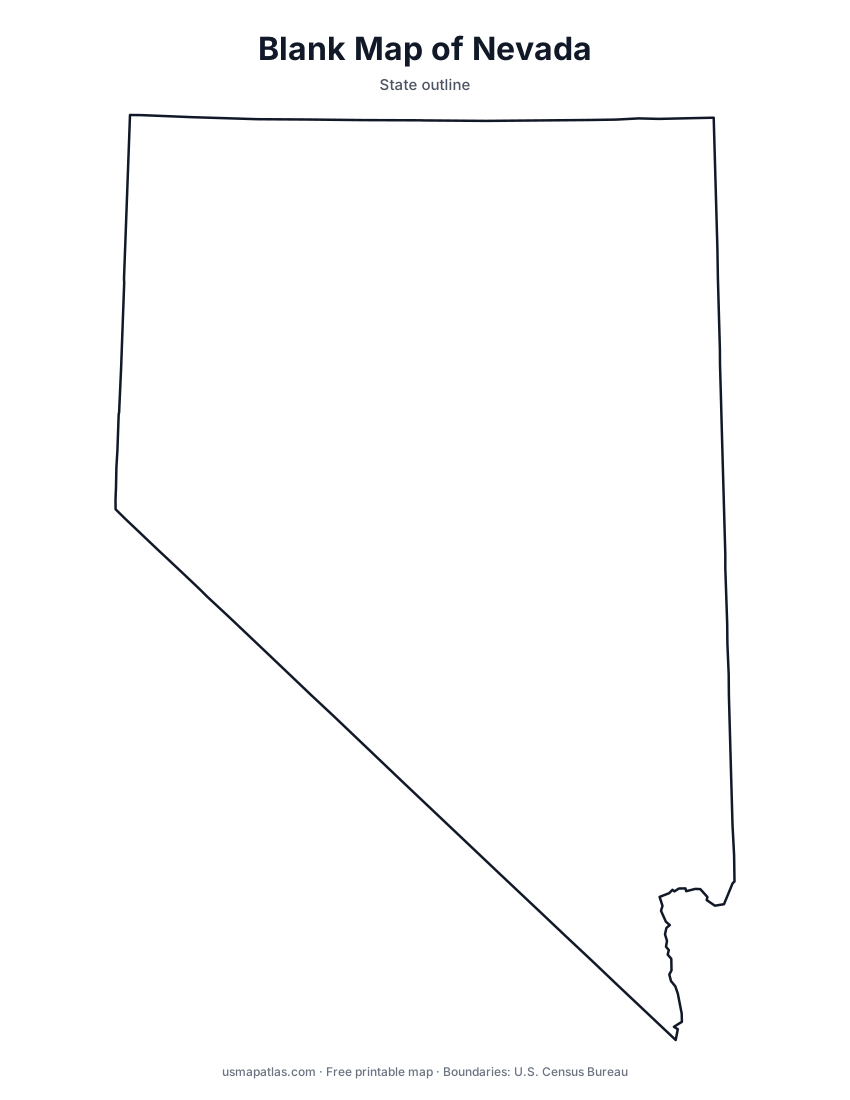
Nevada
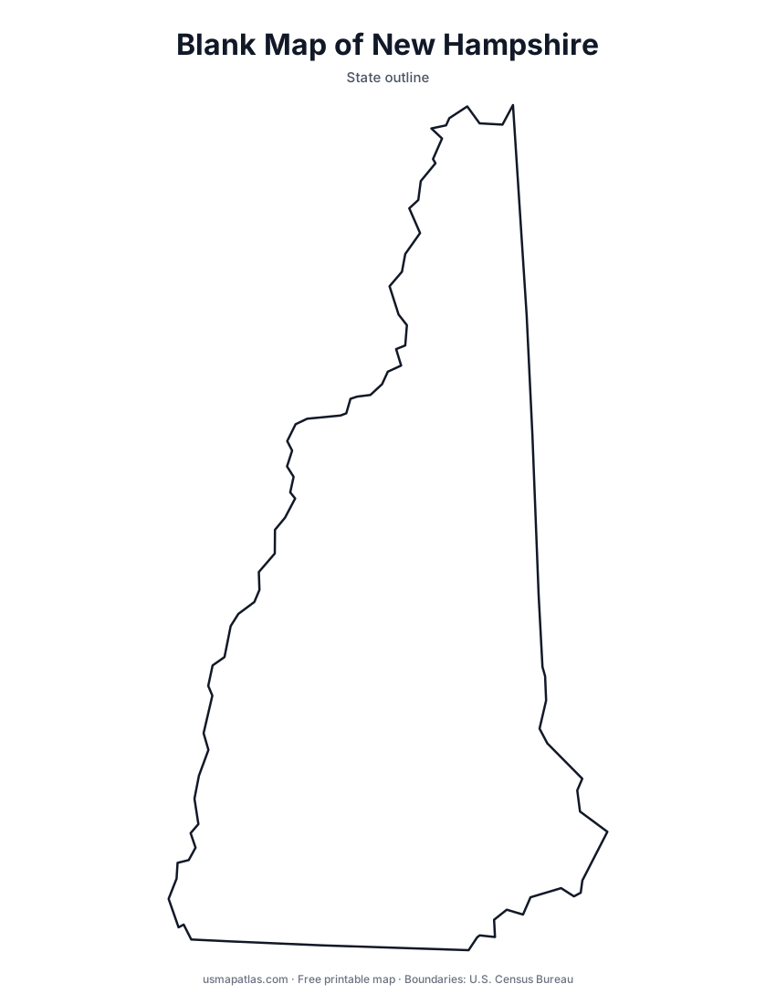
New Hampshire
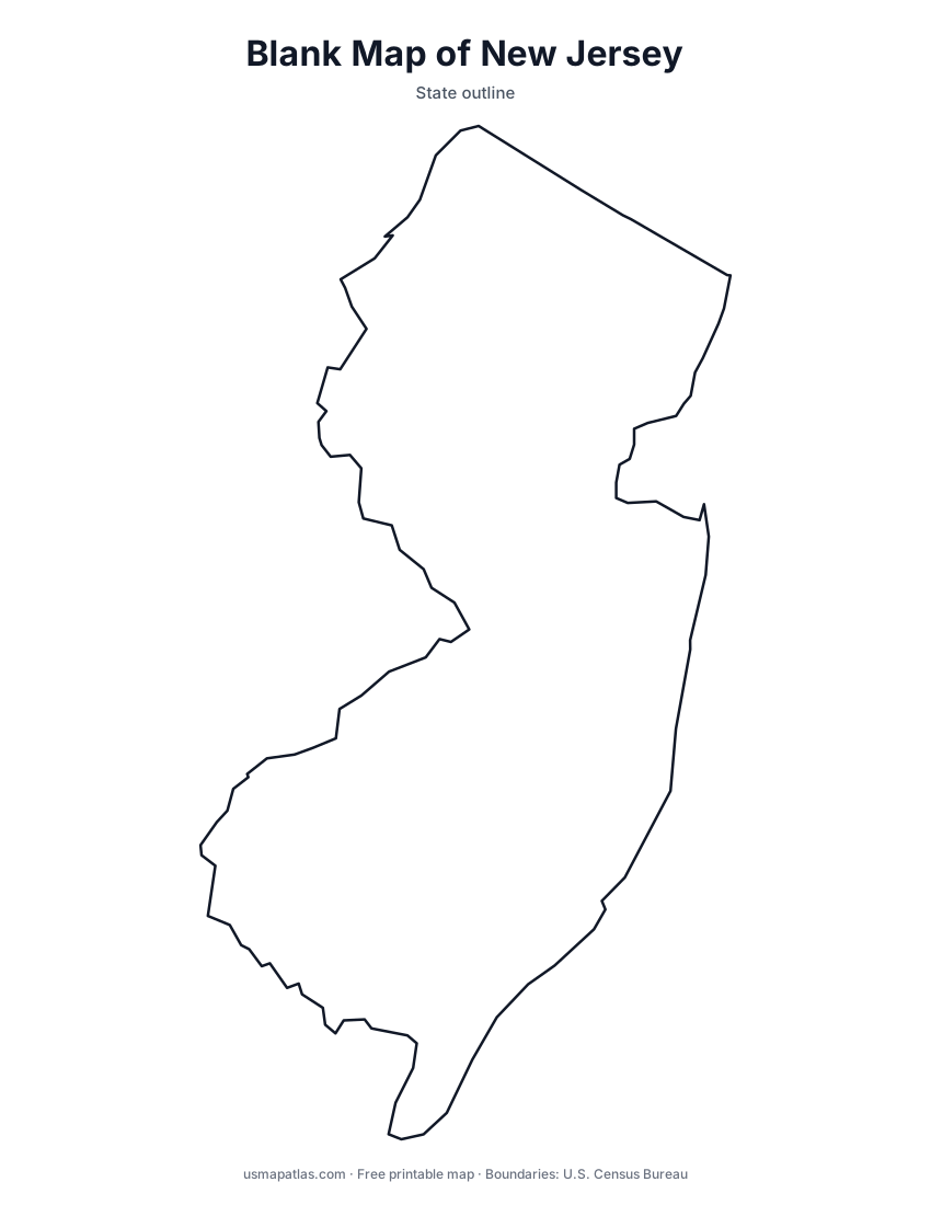
New Jersey
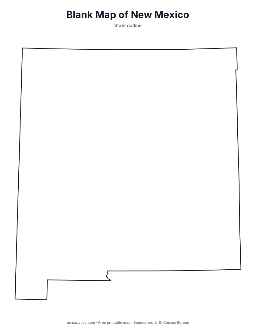
New Mexico
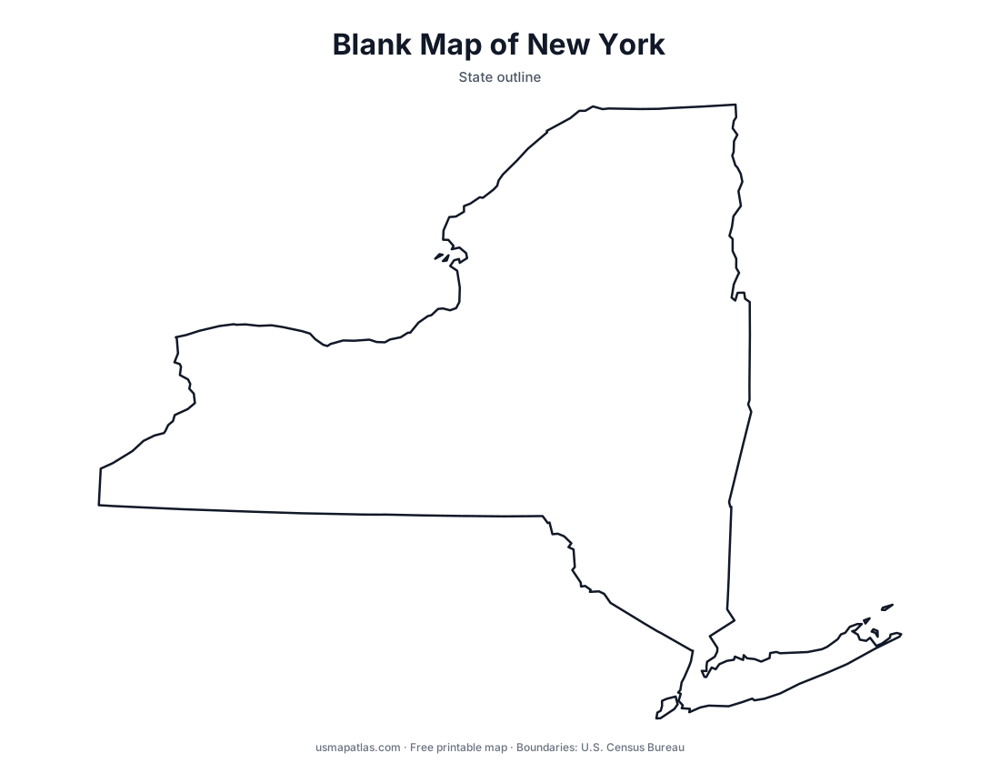
New York
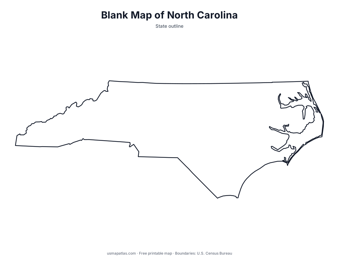
North Carolina
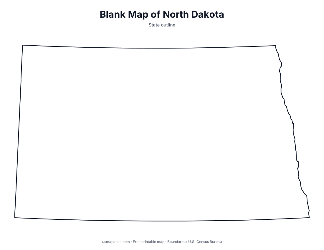
North Dakota
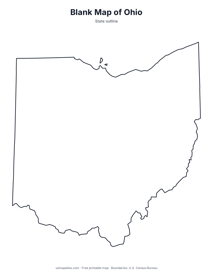
Ohio
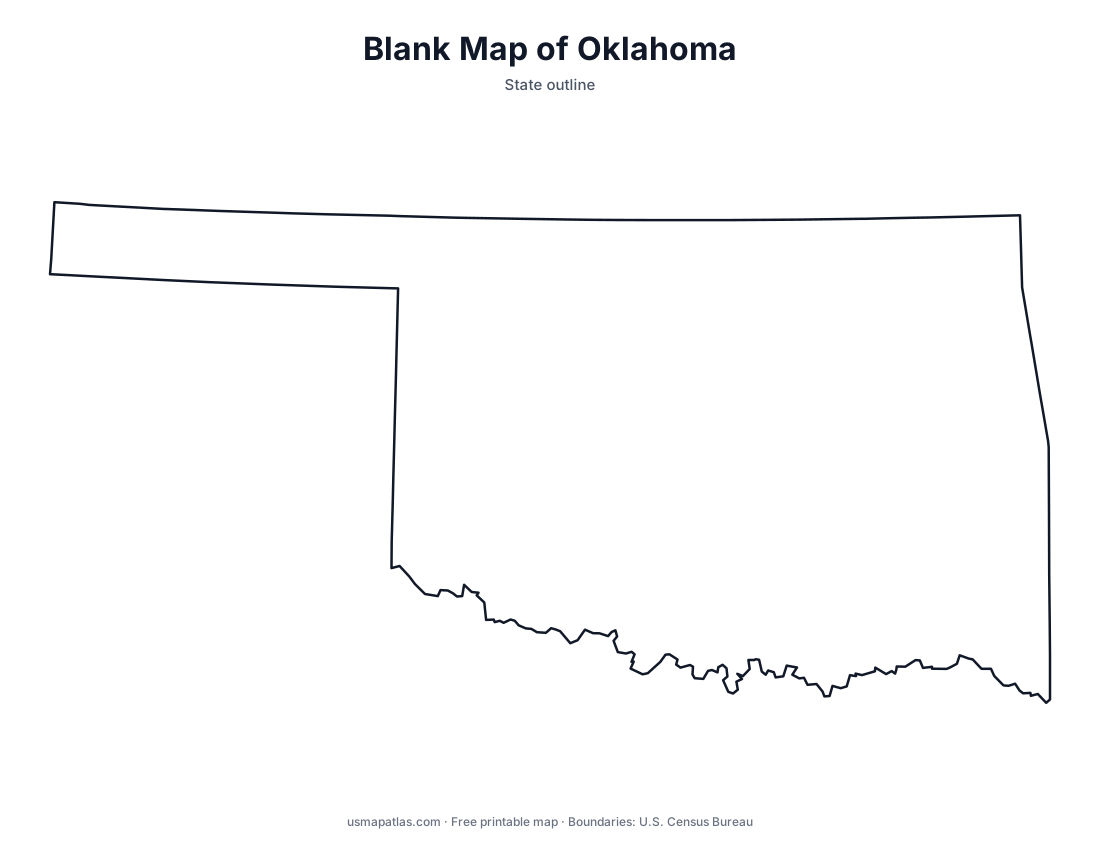
Oklahoma
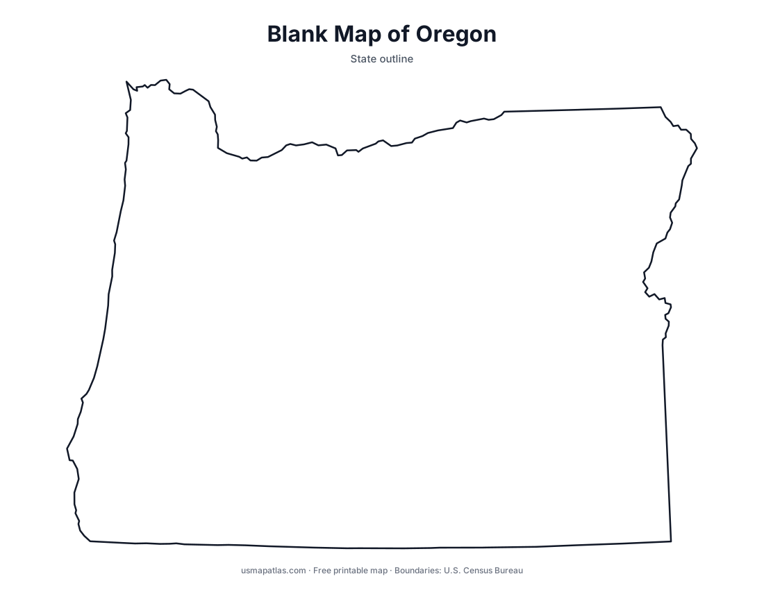
Oregon
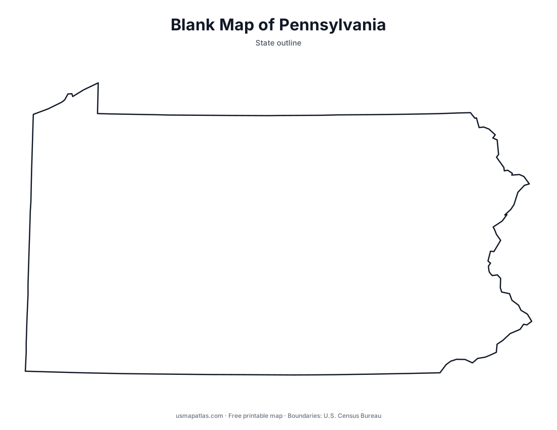
Pennsylvania
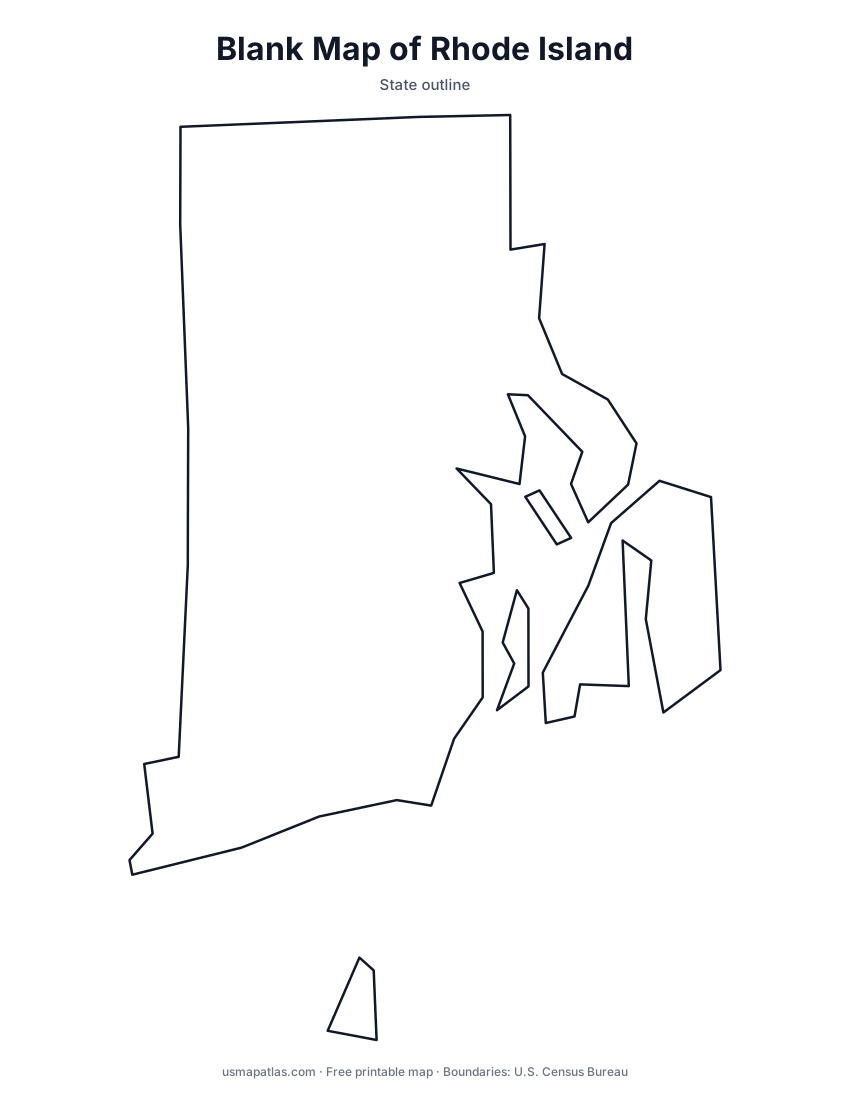
Rhode Island
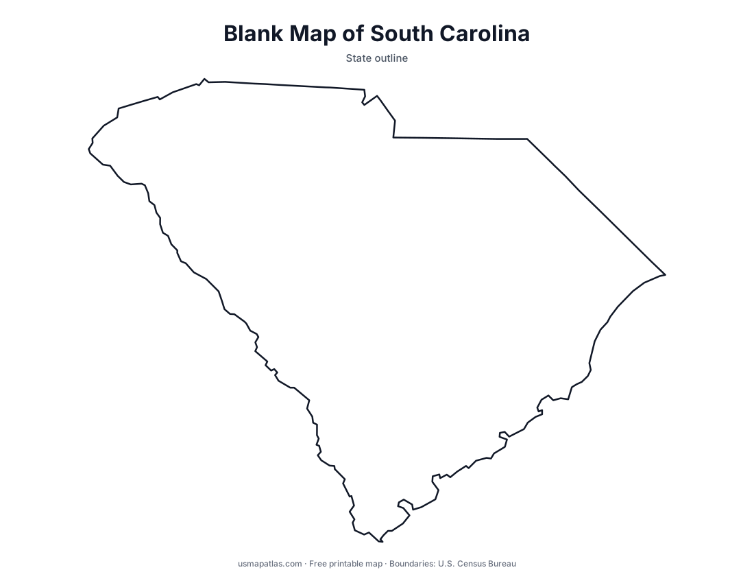
South Carolina
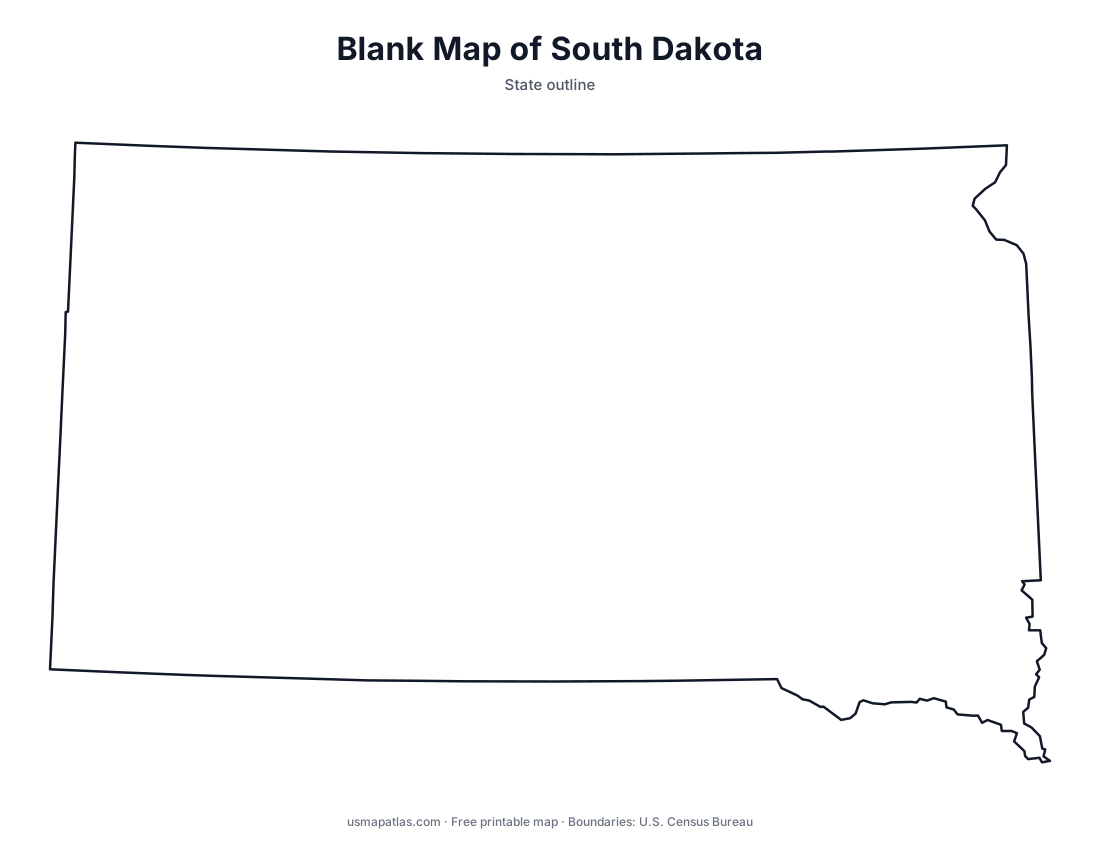
South Dakota
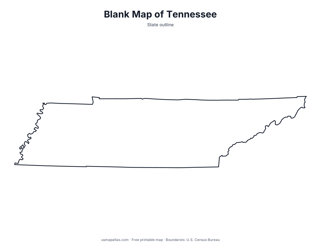
Tennessee
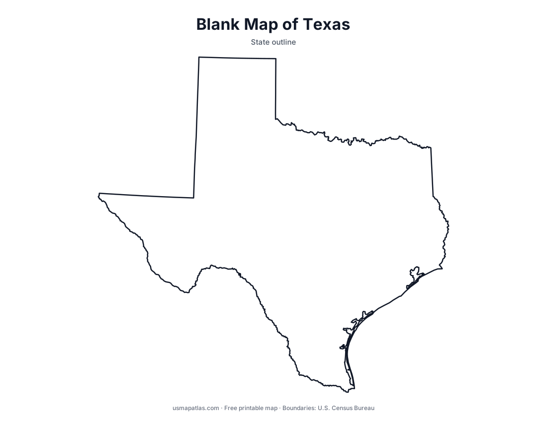
Texas
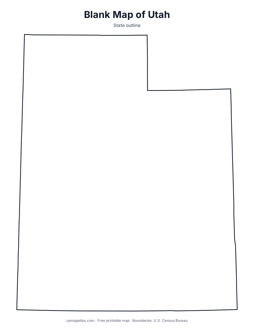
Utah
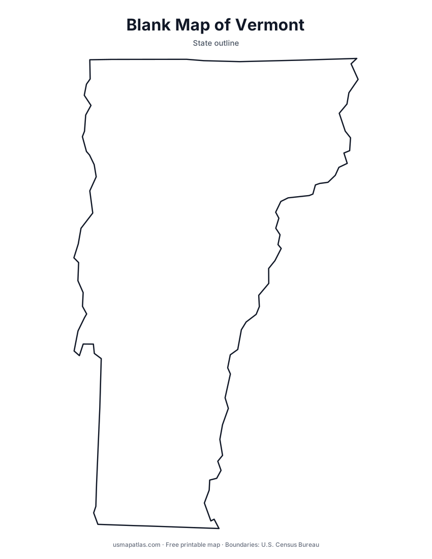
Vermont
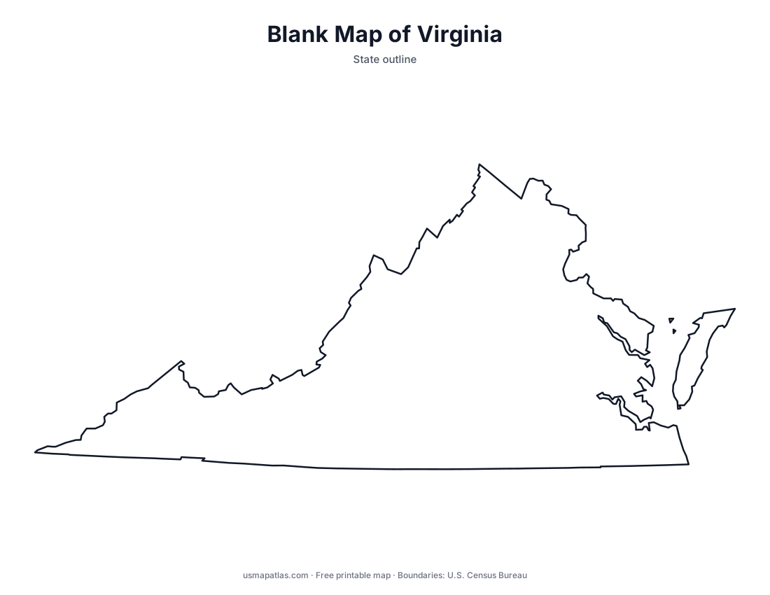
Virginia
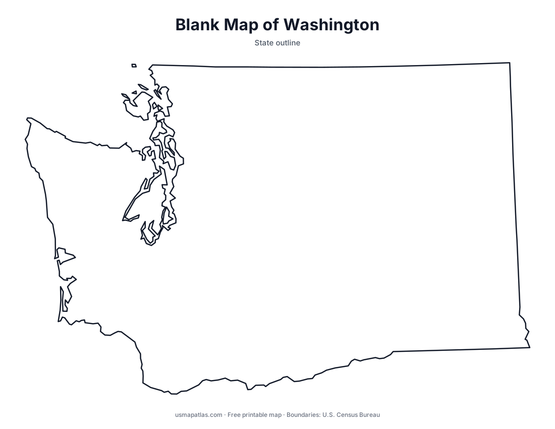
Washington
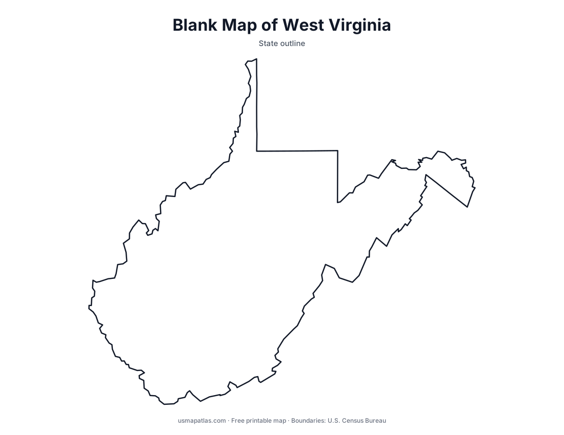
West Virginia
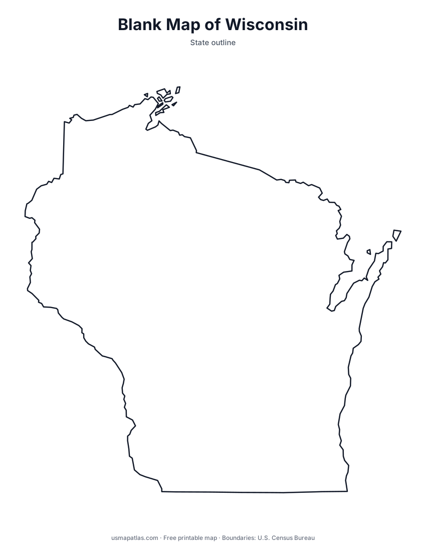
Wisconsin
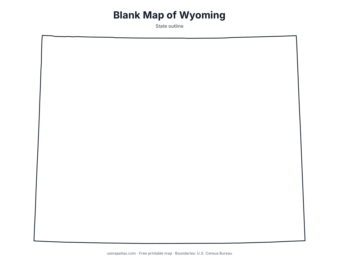
Wyoming
Printable geography worksheets
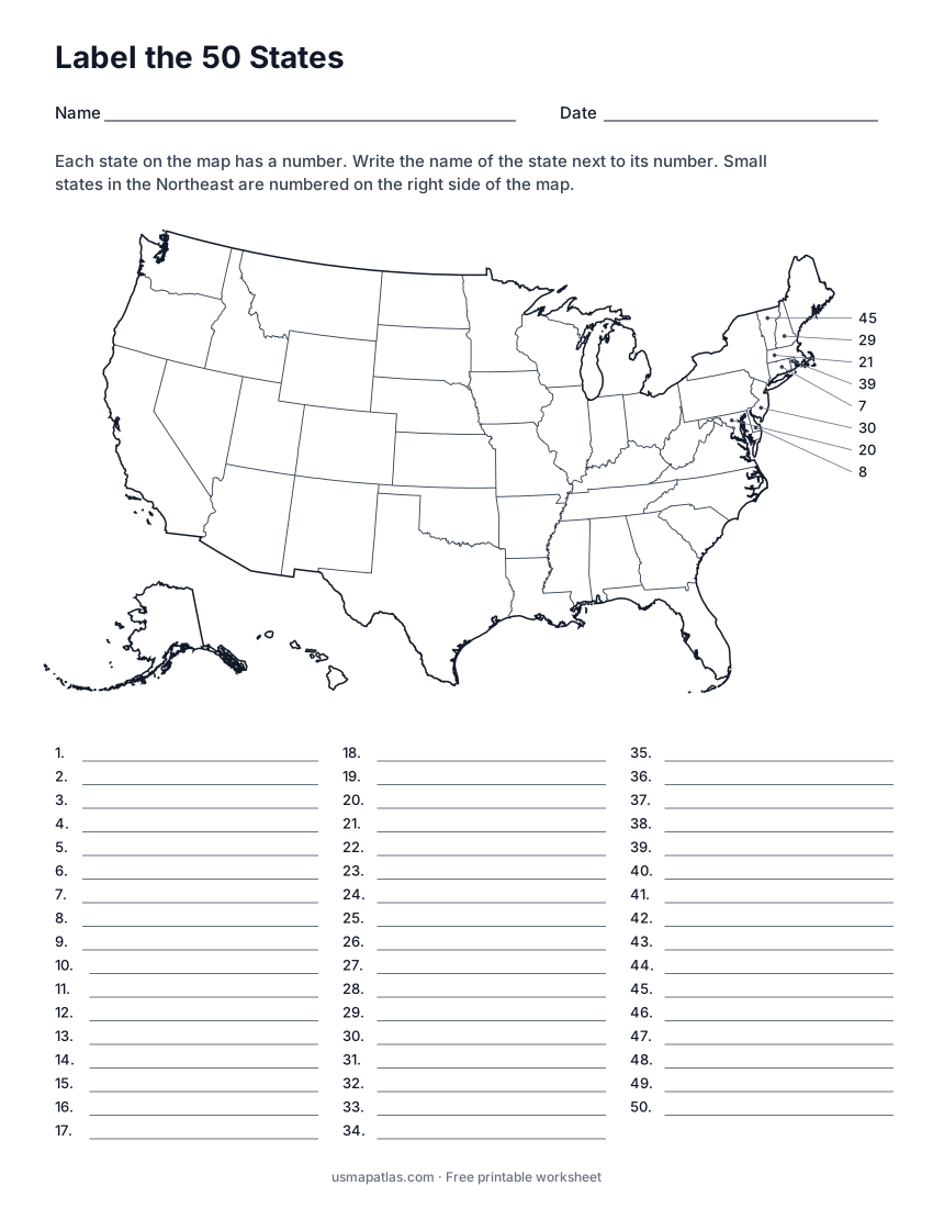
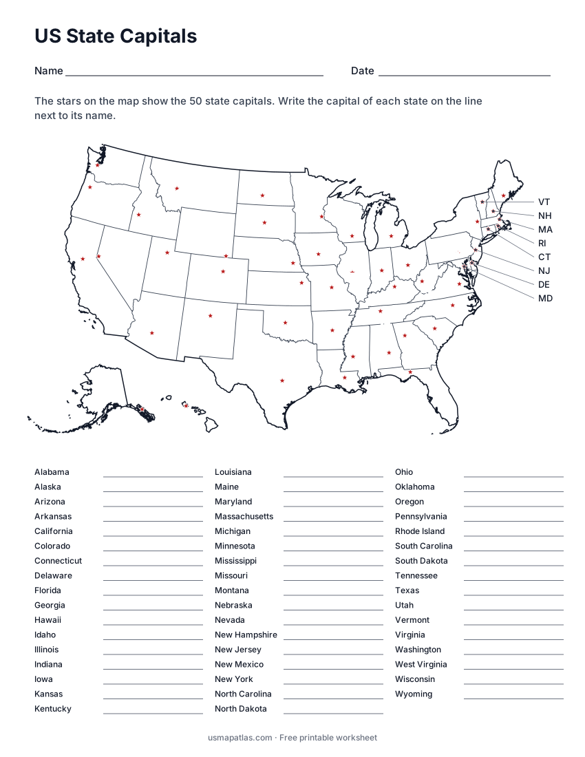
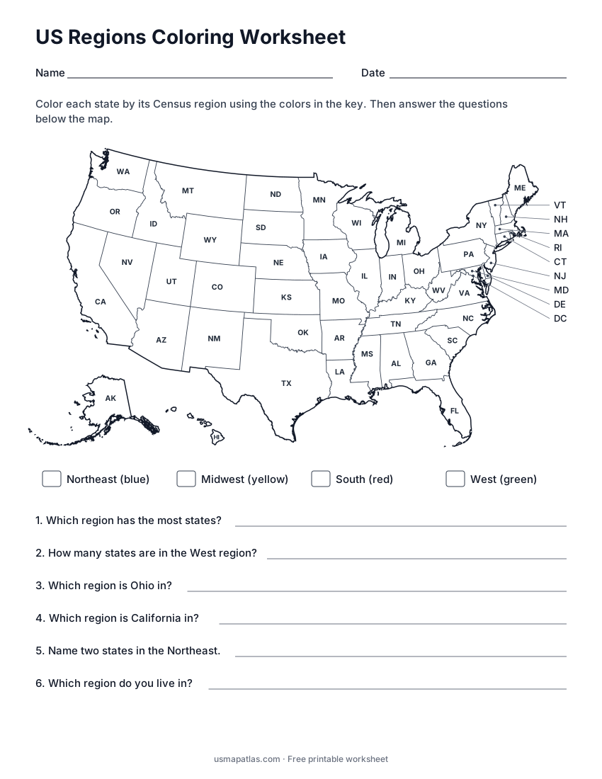
All worksheetsMap quizzes with answer keys for the whole country and for every state.
About these maps
Every map on US Map Atlas is drawn from the U.S. Census Bureau’s cartographic boundary files, the same public-domain data used by government agencies. The maps are designed to print on standard US Letter paper and to work well in black and white, so they are ready for classrooms, homeschool lessons, genealogy research, sales territories and travel planning.
The county maps cover all 3,142 counties and county-equivalents, including Louisiana’s parishes, Alaska’s boroughs and Virginia’s independent cities. All maps are free for personal, educational and non-commercial use.