Michigan Maps
Free printable maps of Michigan: a county map with all 83 counties, the same map with every name labeled, a blank outline, a map with the capital and a location map. Download any of them as PDF, PNG or SVG, along with free Michigan worksheets.

About Michigan
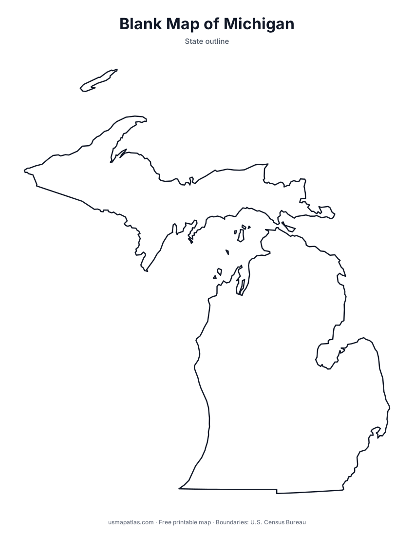
Michigan is made of two peninsulas, the Upper and the Lower, joined by the five-mile Mackinac Bridge. It touches four of the five Great Lakes (Superior, Michigan, Huron and Erie) and has more freshwater shoreline than any other state. The Lower Peninsula is shaped like a mitten, while the Upper Peninsula is heavily forested and borders Wisconsin. Isle Royale, a national park, lies far out in Lake Superior. Lansing is the capital, and Detroit is the largest city.
More printable maps of Michigan




Michigan worksheets
Free printable worksheets for learning about Michigan. Each PDF has the worksheet on page 1 and the answer key on page 2.

Michigan Geography Worksheet
2-page PDF: worksheet and answer key


States That Border Michigan
2-page PDF: worksheet and answer key

List of Michigan counties
All 83 counties of Michigan, in alphabetical order.
- Alcona
- Alger
- Allegan
- Alpena
- Antrim
- Arenac
- Baraga
- Barry
- Bay
- Benzie
- Berrien
- Branch
- Calhoun
- Cass
- Charlevoix
- Cheboygan
- Chippewa
- Clare
- Clinton
- Crawford
- Delta
- Dickinson
- Eaton
- Emmet
- Genesee
- Gladwin
- Gogebic
- Grand Traverse
- Gratiot
- Hillsdale
- Houghton
- Huron
- Ingham
- Ionia
- Iosco
- Iron
- Isabella
- Jackson
- Kalamazoo
- Kalkaska
- Kent
- Keweenaw
- Lake
- Lapeer
- Leelanau
- Lenawee
- Livingston
- Luce
- Mackinac
- Macomb
- Manistee
- Marquette
- Mason
- Mecosta
- Menominee
- Midland
- Missaukee
- Monroe
- Montcalm
- Montmorency
- Muskegon
- Newaygo
- Oakland
- Oceana
- Ogemaw
- Ontonagon
- Osceola
- Oscoda
- Otsego
- Ottawa
- Presque Isle
- Roscommon
- Saginaw
- Sanilac
- Schoolcraft
- Shiawassee
- St. Clair
- St. Joseph
- Tuscola
- Van Buren
- Washtenaw
- Wayne
- Wexford
Frequently asked questions
What is the capital of Michigan?
Lansing is the capital of Michigan. The largest city is Detroit.
How many counties are in Michigan?
Michigan has 83 counties.
What states border Michigan?
Michigan shares a land border with 3 states: Indiana, Ohio and Wisconsin.
When did Michigan become a state?
Michigan became a state on January 26, 1837, as the 26th state.