Illinois Maps
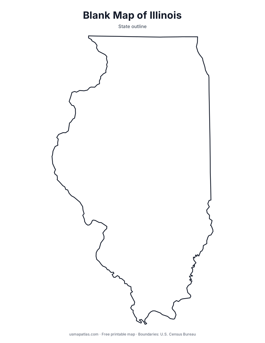
Free printable maps of Illinois: a county map with all 102 counties, the same map with every name labeled, a blank outline, a map with the capital and a location map. Download any of them as PDF, PNG or SVG, along with free Illinois worksheets.

About Illinois
Illinois stretches nearly 400 miles from Lake Michigan in the northeast to Cairo in the south, where the Ohio River meets the Mississippi. The Mississippi forms the entire western border, and the Wabash and Ohio rivers form much of the eastern and southern edges. Most of the state is flat prairie farmland, while the Shawnee Hills break up the far south. Chicago, the largest city, sits on the Lake Michigan shore, and Springfield, in central Illinois, is the capital.
More printable maps of Illinois




Illinois worksheets
Free printable worksheets for learning about Illinois. Each PDF has the worksheet on page 1 and the answer key on page 2.

Illinois Geography Worksheet
2-page PDF: worksheet and answer key


States That Border Illinois
2-page PDF: worksheet and answer key

List of Illinois counties
All 102 counties of Illinois, in alphabetical order.
- Adams
- Alexander
- Bond
- Boone
- Brown
- Bureau
- Calhoun
- Carroll
- Cass
- Champaign
- Christian
- Clark
- Clay
- Clinton
- Coles
- Cook
- Crawford
- Cumberland
- De Witt
- DeKalb
- Douglas
- DuPage
- Edgar
- Edwards
- Effingham
- Fayette
- Ford
- Franklin
- Fulton
- Gallatin
- Greene
- Grundy
- Hamilton
- Hancock
- Hardin
- Henderson
- Henry
- Iroquois
- Jackson
- Jasper
- Jefferson
- Jersey
- Jo Daviess
- Johnson
- Kane
- Kankakee
- Kendall
- Knox
- Lake
- LaSalle
- Lawrence
- Lee
- Livingston
- Logan
- Macon
- Macoupin
- Madison
- Marion
- Marshall
- Mason
- Massac
- McDonough
- McHenry
- McLean
- Menard
- Mercer
- Monroe
- Montgomery
- Morgan
- Moultrie
- Ogle
- Peoria
- Perry
- Piatt
- Pike
- Pope
- Pulaski
- Putnam
- Randolph
- Richland
- Rock Island
- Saline
- Sangamon
- Schuyler
- Scott
- Shelby
- St. Clair
- Stark
- Stephenson
- Tazewell
- Union
- Vermilion
- Wabash
- Warren
- Washington
- Wayne
- White
- Whiteside
- Will
- Williamson
- Winnebago
- Woodford
Frequently asked questions
What is the capital of Illinois?
Springfield is the capital of Illinois. The largest city is Chicago.
How many counties are in Illinois?
Illinois has 102 counties.
What states border Illinois?
Illinois shares a land border with 5 states: Indiana, Iowa, Kentucky, Missouri and Wisconsin.
When did Illinois become a state?
Illinois became a state on December 3, 1818, as the 21st state.