Missouri Maps
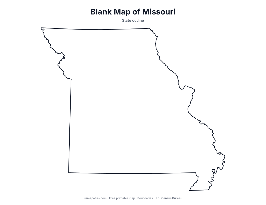
Free printable maps of Missouri: a county map with all 115 counties, the same map with every name labeled, a blank outline, a map with the capital and a location map. Download any of them as PDF, PNG or SVG, along with free Missouri worksheets.

About Missouri
Missouri sits near the center of the country, where the Missouri River meets the Mississippi just north of St. Louis. It borders eight states, tied with Tennessee for the most of any state. North of the Missouri River lie rolling plains; to the south, the Ozark Plateau covers much of the state with forests, springs and caves. The Bootheel juts south into the Mississippi lowlands. Jefferson City is the capital, Kansas City is the largest city, and St. Louis is an independent city that is not part of any county.
More printable maps of Missouri




Missouri worksheets
Free printable worksheets for learning about Missouri. Each PDF has the worksheet on page 1 and the answer key on page 2.

Missouri Geography Worksheet
2-page PDF: worksheet and answer key


States That Border Missouri
2-page PDF: worksheet and answer key

List of Missouri counties
All 115 counties of Missouri, in alphabetical order.
- Adair
- Andrew
- Atchison
- Audrain
- Barry
- Barton
- Bates
- Benton
- Bollinger
- Boone
- Buchanan
- Butler
- Caldwell
- Callaway
- Camden
- Cape Girardeau
- Carroll
- Carter
- Cass
- Cedar
- Chariton
- Christian
- Clark
- Clay
- Clinton
- Cole
- Cooper
- Crawford
- Dade
- Dallas
- Daviess
- DeKalb
- Dent
- Douglas
- Dunklin
- Franklin
- Gasconade
- Gentry
- Greene
- Grundy
- Harrison
- Henry
- Hickory
- Holt
- Howard
- Howell
- Iron
- Jackson
- Jasper
- Jefferson
- Johnson
- Knox
- Laclede
- Lafayette
- Lawrence
- Lewis
- Lincoln
- Linn
- Livingston
- Macon
- Madison
- Maries
- Marion
- McDonald
- Mercer
- Miller
- Mississippi
- Moniteau
- Monroe
- Montgomery
- Morgan
- New Madrid
- Newton
- Nodaway
- Oregon
- Osage
- Ozark
- Pemiscot
- Perry
- Pettis
- Phelps
- Pike
- Platte
- Polk
- Pulaski
- Putnam
- Ralls
- Randolph
- Ray
- Reynolds
- Ripley
- Saline
- Schuyler
- Scotland
- Scott
- Shannon
- Shelby
- St. Charles
- St. Clair
- St. Francois
- St. Louis
- St. Louis (city)
- Ste. Genevieve
- Stoddard
- Stone
- Sullivan
- Taney
- Texas
- Vernon
- Warren
- Washington
- Wayne
- Webster
- Worth
- Wright
Frequently asked questions
What is the capital of Missouri?
Jefferson City is the capital of Missouri. The largest city is Kansas City.
How many counties are in Missouri?
Missouri has 115 counties.
What states border Missouri?
Missouri shares a land border with 8 states: Arkansas, Illinois, Iowa, Kansas, Kentucky, Nebraska, Oklahoma and Tennessee.
When did Missouri become a state?
Missouri became a state on August 10, 1821, as the 24th state.