Kansas Maps
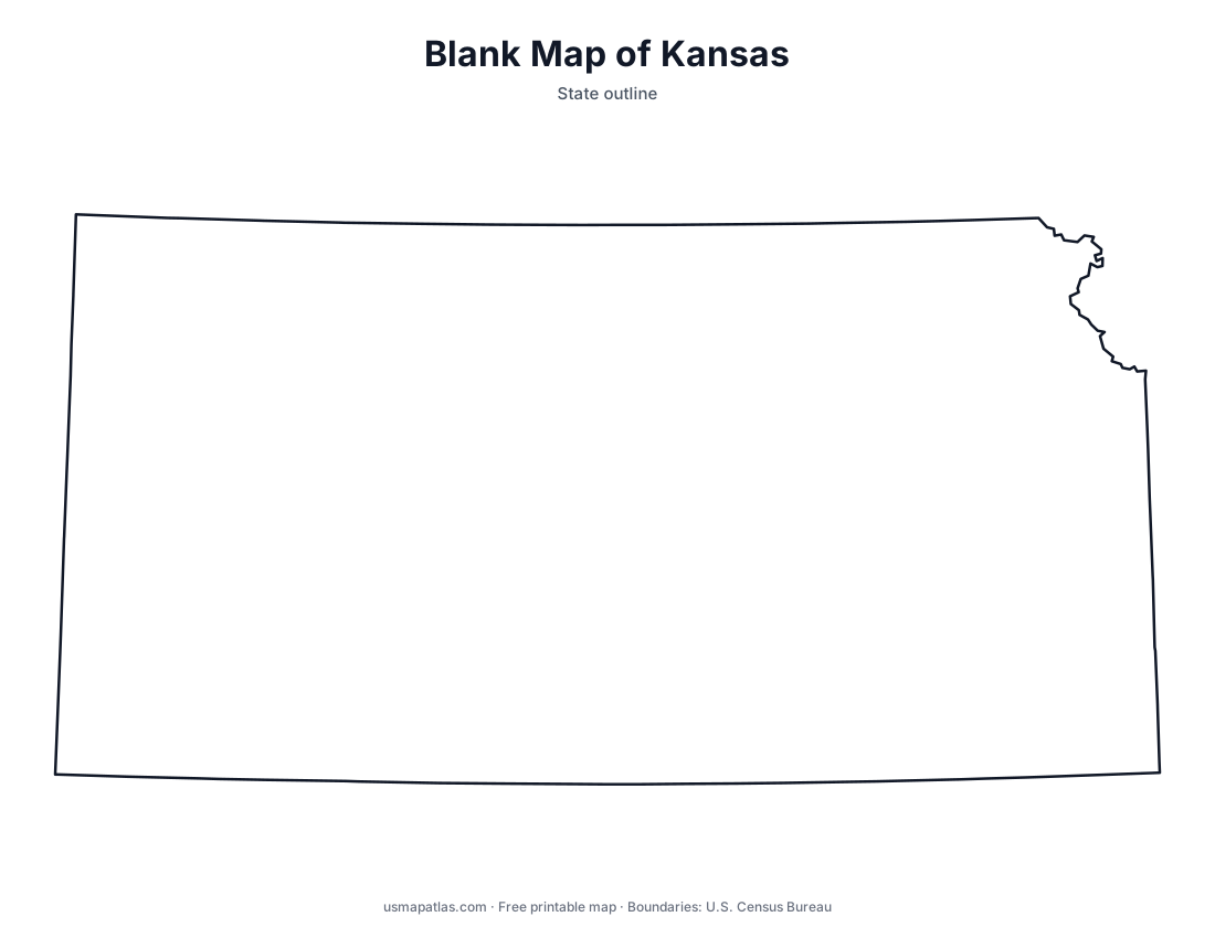
Free printable maps of Kansas: a county map with all 105 counties, the same map with every name labeled, a blank outline, a map with the capital and a location map. Download any of them as PDF, PNG or SVG, along with free Kansas worksheets.

About Kansas
Kansas sits in the middle of the country; the geographic center of the contiguous United States is near Lebanon, Kansas. The land climbs gradually from under 700 feet in the southeast to just over 4,000 feet at Mount Sunflower on the Colorado border. The Flint Hills in the east protect one of the largest remaining areas of tallgrass prairie. The Kansas and Arkansas rivers cross the state. Topeka is the capital, and Wichita is the largest city.
More printable maps of Kansas




Kansas worksheets
Free printable worksheets for learning about Kansas. Each PDF has the worksheet on page 1 and the answer key on page 2.

Kansas Geography Worksheet
2-page PDF: worksheet and answer key


States That Border Kansas
2-page PDF: worksheet and answer key

List of Kansas counties
All 105 counties of Kansas, in alphabetical order.
- Allen
- Anderson
- Atchison
- Barber
- Barton
- Bourbon
- Brown
- Butler
- Chase
- Chautauqua
- Cherokee
- Cheyenne
- Clark
- Clay
- Cloud
- Coffey
- Comanche
- Cowley
- Crawford
- Decatur
- Dickinson
- Doniphan
- Douglas
- Edwards
- Elk
- Ellis
- Ellsworth
- Finney
- Ford
- Franklin
- Geary
- Gove
- Graham
- Grant
- Gray
- Greeley
- Greenwood
- Hamilton
- Harper
- Harvey
- Haskell
- Hodgeman
- Jackson
- Jefferson
- Jewell
- Johnson
- Kearny
- Kingman
- Kiowa
- Labette
- Lane
- Leavenworth
- Lincoln
- Linn
- Logan
- Lyon
- Marion
- Marshall
- McPherson
- Meade
- Miami
- Mitchell
- Montgomery
- Morris
- Morton
- Nemaha
- Neosho
- Ness
- Norton
- Osage
- Osborne
- Ottawa
- Pawnee
- Phillips
- Pottawatomie
- Pratt
- Rawlins
- Reno
- Republic
- Rice
- Riley
- Rooks
- Rush
- Russell
- Saline
- Scott
- Sedgwick
- Seward
- Shawnee
- Sheridan
- Sherman
- Smith
- Stafford
- Stanton
- Stevens
- Sumner
- Thomas
- Trego
- Wabaunsee
- Wallace
- Washington
- Wichita
- Wilson
- Woodson
- Wyandotte
Frequently asked questions
What is the capital of Kansas?
Topeka is the capital of Kansas. The largest city is Wichita.
How many counties are in Kansas?
Kansas has 105 counties.
What states border Kansas?
Kansas shares a land border with 4 states: Colorado, Missouri, Nebraska and Oklahoma.
When did Kansas become a state?
Kansas became a state on January 29, 1861, as the 34th state.