US Map Atlas

Printable maps of the United States

Six maps of the whole country, each sized for US Letter paper. Open a map for downloads and a reference table, or grab the PDF straight from this page.
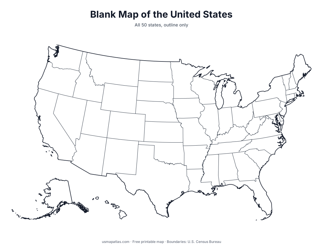
Blank map of the United States showing all 50 state outlines

Blank US Map

Free printable blank map of the United States with all 50 state outlines.

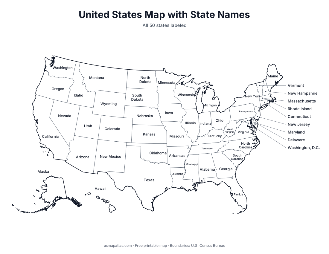
Map of the United States with all 50 state names labeled

US Map with State Names

Printable map of the United States with all 50 state names labeled.

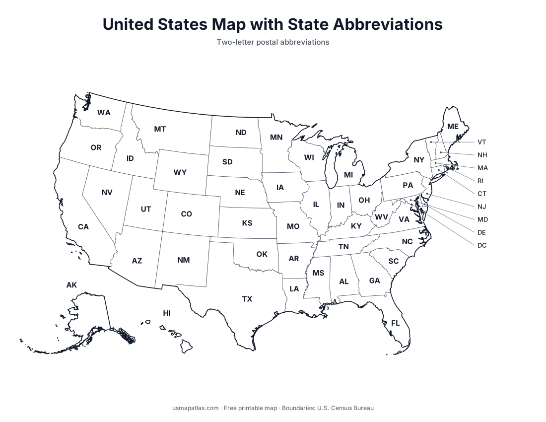
Map of the United States with two-letter state abbreviations

US Map with State Abbreviations

Printable US map with the two-letter postal abbreviation of every state.

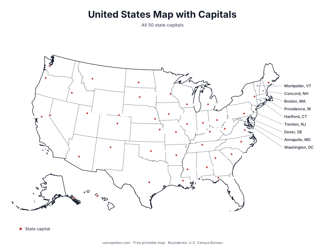
Map of the United States showing all 50 state capitals

US Map with Capitals

Printable map of the United States showing all 50 state capitals.

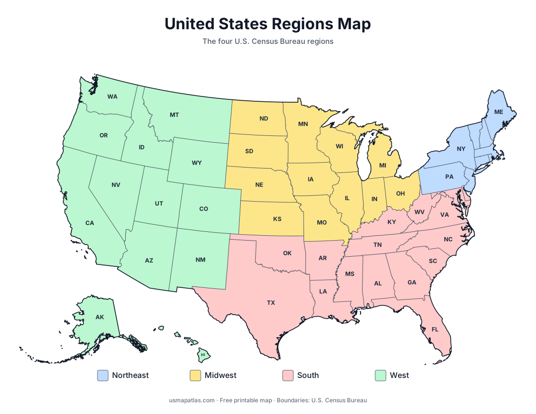
Map of the four US Census regions: Northeast, Midwest, South and West

US Regions Map

Printable map of the four US Census Bureau regions: Northeast, Midwest, South and West.

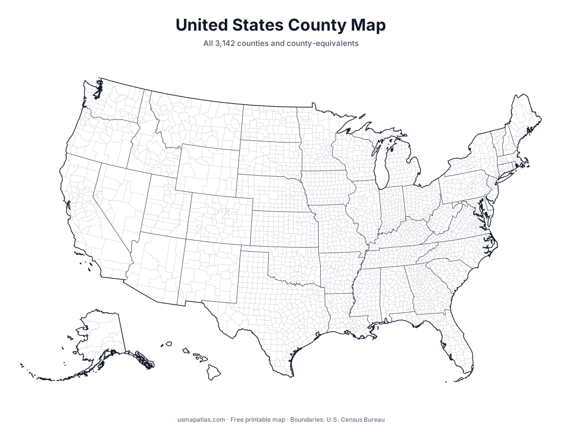
Map of every county in the United States

US County Map

Printable map of every county in the United States, with state borders.