US Map with State Abbreviations
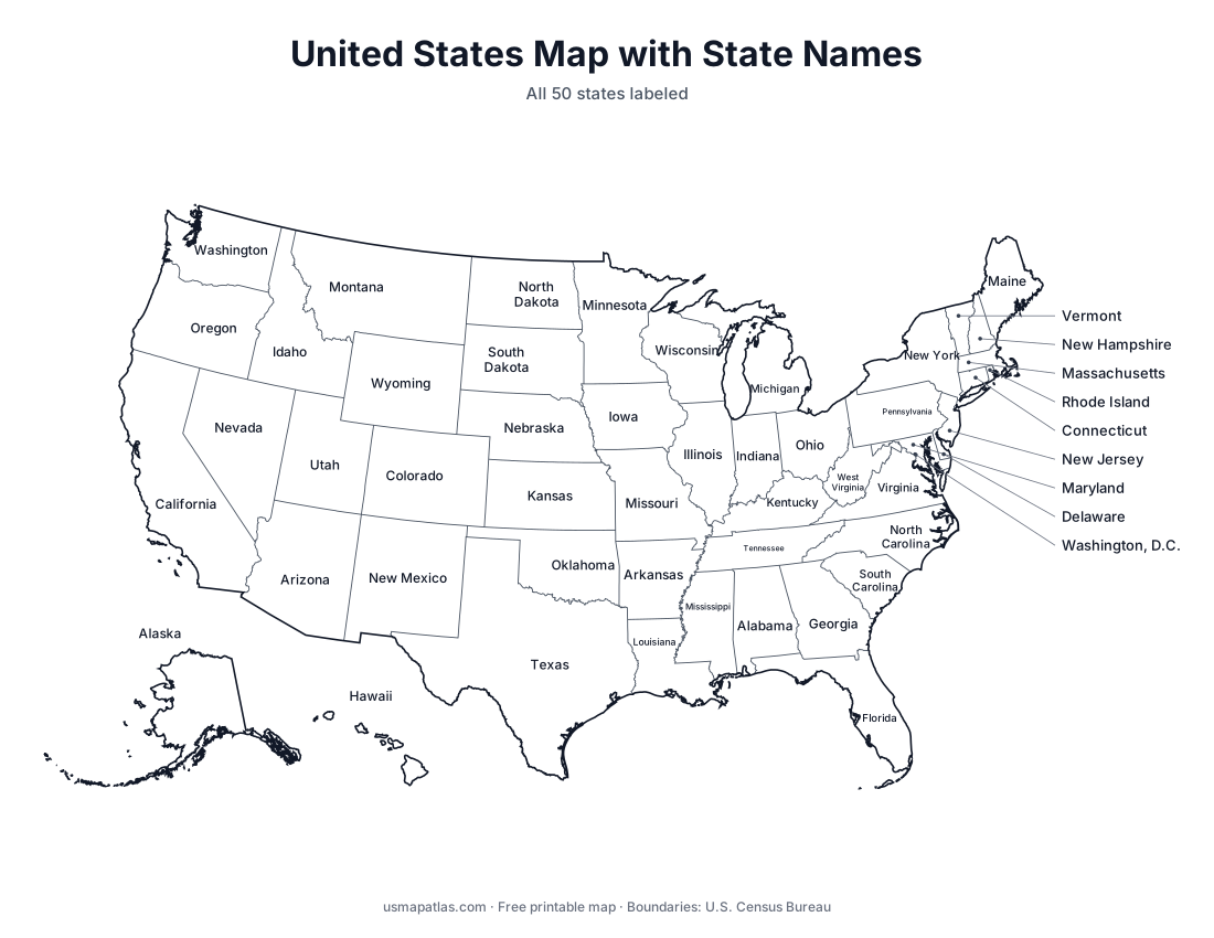
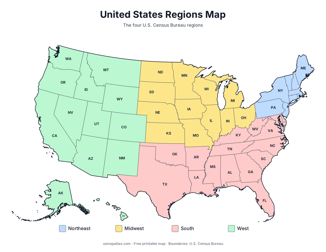
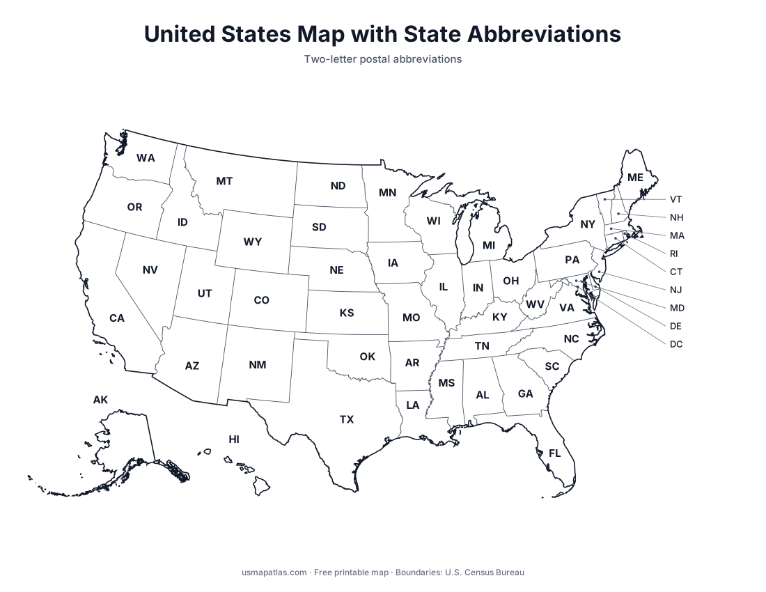
Printable US map with the two-letter postal abbreviation of every state. Free PDF, PNG and SVG, plus a table of all 50 state abbreviations.

This map shows the official two-letter postal abbreviation for each of the 50 states and Washington, D.C. The two-letter codes date from 1963, when the Post Office Department introduced ZIP codes.
The table below lists every abbreviation next to its state name, which is handy for addressing mail, filling in forms or studying.
List of state abbreviations
| State | Abbreviation |
|---|---|
| Alabama | AL |
| Alaska | AK |
| Arizona | AZ |
| Arkansas | AR |
| California | CA |
| Colorado | CO |
| Connecticut | CT |
| Delaware | DE |
| Florida | FL |
| Georgia | GA |
| Hawaii | HI |
| Idaho | ID |
| Illinois | IL |
| Indiana | IN |
| Iowa | IA |
| Kansas | KS |
| Kentucky | KY |
| Louisiana | LA |
| Maine | ME |
| Maryland | MD |
| Massachusetts | MA |
| Michigan | MI |
| Minnesota | MN |
| Mississippi | MS |
| Missouri | MO |
| Montana | MT |
| Nebraska | NE |
| Nevada | NV |
| New Hampshire | NH |
| New Jersey | NJ |
| New Mexico | NM |
| New York | NY |
| North Carolina | NC |
| North Dakota | ND |
| Ohio | OH |
| Oklahoma | OK |
| Oregon | OR |
| Pennsylvania | PA |
| Rhode Island | RI |
| South Carolina | SC |
| South Dakota | SD |
| Tennessee | TN |
| Texas | TX |
| Utah | UT |
| Vermont | VT |
| Virginia | VA |
| Washington | WA |
| West Virginia | WV |
| Wisconsin | WI |
| Wyoming | WY |
| Washington, D.C. | DC |