Oregon Maps
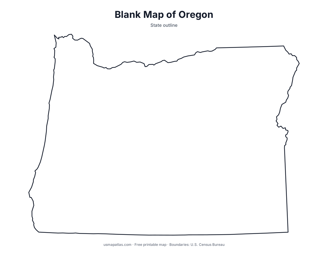
Free printable maps of Oregon: a county map with all 36 counties, the same map with every name labeled, a blank outline, a map with the capital and a location map. Download any of them as PDF, PNG or SVG, along with free Oregon worksheets.

About Oregon
Oregon runs from the Pacific coast across the Cascade Range to the high desert. The Columbia River forms most of its northern border with Washington. The Willamette Valley, between the Coast Range and the Cascades, holds most of the population, including Portland, Salem and Eugene. Mount Hood is the highest point, and Crater Lake is the deepest lake in the United States. East of the Cascades the land is drier, with plateaus, the Blue Mountains and part of the Great Basin. Salem is the capital, and Portland is the largest city.
More printable maps of Oregon




Oregon worksheets
Free printable worksheets for learning about Oregon. Each PDF has the worksheet on page 1 and the answer key on page 2.

Oregon Geography Worksheet
2-page PDF: worksheet and answer key


States That Border Oregon
2-page PDF: worksheet and answer key

List of Oregon counties
All 36 counties of Oregon, in alphabetical order.
- Baker
- Benton
- Clackamas
- Clatsop
- Columbia
- Coos
- Crook
- Curry
- Deschutes
- Douglas
- Gilliam
- Grant
- Harney
- Hood River
- Jackson
- Jefferson
- Josephine
- Klamath
- Lake
- Lane
- Lincoln
- Linn
- Malheur
- Marion
- Morrow
- Multnomah
- Polk
- Sherman
- Tillamook
- Umatilla
- Union
- Wallowa
- Wasco
- Washington
- Wheeler
- Yamhill
Frequently asked questions
What is the capital of Oregon?
Salem is the capital of Oregon. The largest city is Portland.
How many counties are in Oregon?
Oregon has 36 counties.
What states border Oregon?
Oregon shares a land border with 4 states: California, Idaho, Nevada and Washington.
When did Oregon become a state?
Oregon became a state on February 14, 1859, as the 33rd state.