Washington Maps
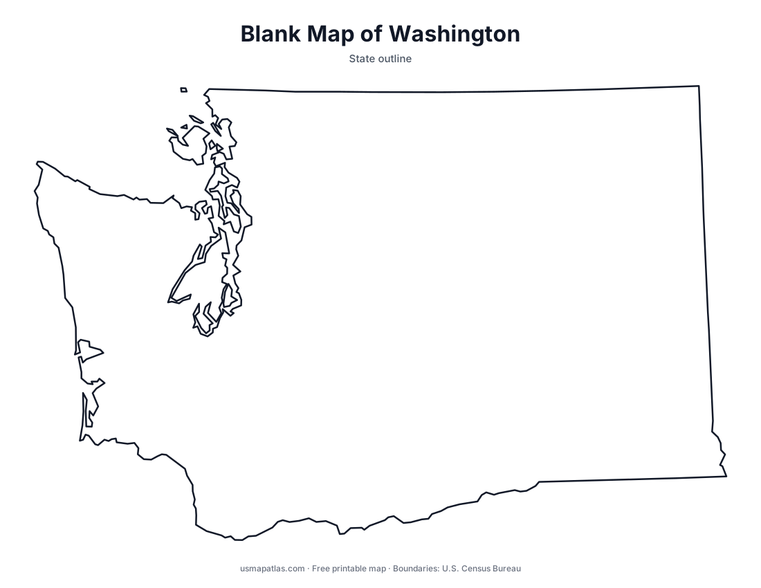
Free printable maps of Washington: a county map with all 39 counties, the same map with every name labeled, a blank outline, a map with the capital and a location map. Download any of them as PDF, PNG or SVG, along with free Washington worksheets.

About Washington
Washington is the northwesternmost state in the lower 48. The Cascade Range divides it into a wet western side and a dry eastern side. Puget Sound reaches deep inland in the west, with Seattle, Tacoma and Olympia on its shores, and the Olympic Peninsula holds temperate rainforests. Mount Rainier is the highest point. In the east, the Columbia River crosses the Columbia Plateau and forms much of the border with Oregon. Olympia is the capital, and Seattle is the largest city.
More printable maps of Washington




Washington worksheets
Free printable worksheets for learning about Washington. Each PDF has the worksheet on page 1 and the answer key on page 2.

Washington Geography Worksheet
2-page PDF: worksheet and answer key


States That Border Washington
2-page PDF: worksheet and answer key

List of Washington counties
All 39 counties of Washington, in alphabetical order.
- Adams
- Asotin
- Benton
- Chelan
- Clallam
- Clark
- Columbia
- Cowlitz
- Douglas
- Ferry
- Franklin
- Garfield
- Grant
- Grays Harbor
- Island
- Jefferson
- King
- Kitsap
- Kittitas
- Klickitat
- Lewis
- Lincoln
- Mason
- Okanogan
- Pacific
- Pend Oreille
- Pierce
- San Juan
- Skagit
- Skamania
- Snohomish
- Spokane
- Stevens
- Thurston
- Wahkiakum
- Walla Walla
- Whatcom
- Whitman
- Yakima
Frequently asked questions
What is the capital of Washington?
Olympia is the capital of Washington. The largest city is Seattle.
How many counties are in Washington?
Washington has 39 counties.
What states border Washington?
Washington shares a land border with 2 states: Idaho and Oregon.
When did Washington become a state?
Washington became a state on November 11, 1889, as the 42nd state.