Idaho Maps
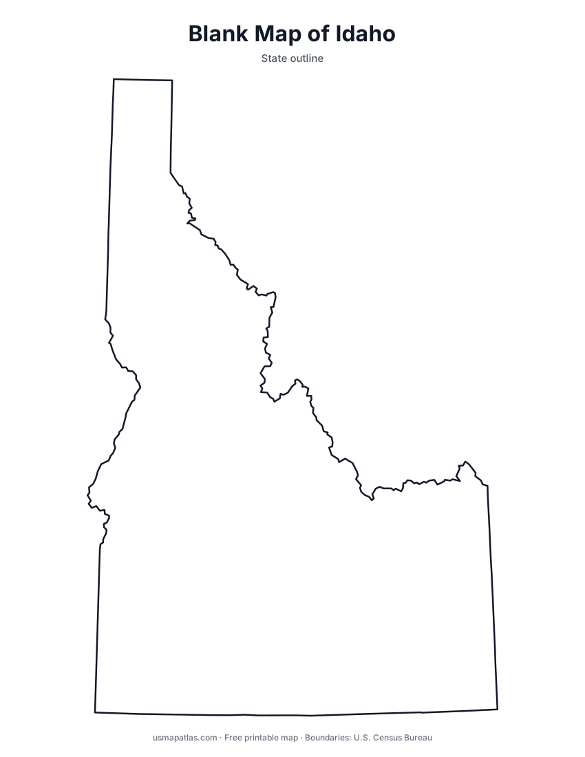
Free printable maps of Idaho: a county map with all 44 counties, the same map with every name labeled, a blank outline, a map with the capital and a location map. Download any of them as PDF, PNG or SVG, along with free Idaho worksheets.

About Idaho
Idaho is a mountainous state in the Northwest, narrow in the north where its panhandle meets Canada and wide in the south. Much of central Idaho is rugged wilderness, including the Frank Church-River of No Return Wilderness. The Snake River curves across the south through the Snake River Plain, then cuts Hells Canyon along the Oregon border, one of the deepest gorges in North America. Borah Peak is the highest point. Boise is the capital and the largest city.
More printable maps of Idaho




Idaho worksheets
Free printable worksheets for learning about Idaho. Each PDF has the worksheet on page 1 and the answer key on page 2.

Idaho Geography Worksheet
2-page PDF: worksheet and answer key


States That Border Idaho
2-page PDF: worksheet and answer key

List of Idaho counties
All 44 counties of Idaho, in alphabetical order.
- Ada
- Adams
- Bannock
- Bear Lake
- Benewah
- Bingham
- Blaine
- Boise
- Bonner
- Bonneville
- Boundary
- Butte
- Camas
- Canyon
- Caribou
- Cassia
- Clark
- Clearwater
- Custer
- Elmore
- Franklin
- Fremont
- Gem
- Gooding
- Idaho
- Jefferson
- Jerome
- Kootenai
- Latah
- Lemhi
- Lewis
- Lincoln
- Madison
- Minidoka
- Nez Perce
- Oneida
- Owyhee
- Payette
- Power
- Shoshone
- Teton
- Twin Falls
- Valley
- Washington
Frequently asked questions
What is the capital of Idaho?
Boise is the capital of Idaho. It is also the state’s largest city.
How many counties are in Idaho?
Idaho has 44 counties.
What states border Idaho?
Idaho shares a land border with 6 states: Montana, Nevada, Oregon, Utah, Washington and Wyoming.
When did Idaho become a state?
Idaho became a state on July 3, 1890, as the 43rd state.