Arizona Maps
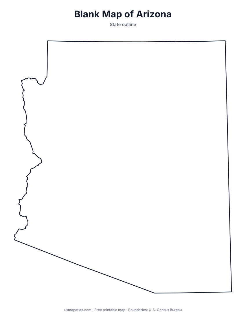
Free printable maps of Arizona: a county map with all 15 counties, the same map with every name labeled, a blank outline, a map with the capital and a location map. Download any of them as PDF, PNG or SVG, along with free Arizona worksheets.

About Arizona
Arizona lies in the Southwest, with Mexico to the south and the Colorado River along most of its western border with California and Nevada. The northern part of the state is the high Colorado Plateau, cut by the Grand Canyon. The Mogollon Rim marks the plateau's southern edge, and below it the Sonoran Desert spreads across the south around Phoenix and Tucson. Arizona meets Utah, Colorado and New Mexico at the Four Corners, the only place where four states touch. Phoenix is both the capital and the largest city.
More printable maps of Arizona




Arizona worksheets
Free printable worksheets for learning about Arizona. Each PDF has the worksheet on page 1 and the answer key on page 2.

Arizona Geography Worksheet
2-page PDF: worksheet and answer key


States That Border Arizona
2-page PDF: worksheet and answer key

List of Arizona counties
All 15 counties of Arizona, in alphabetical order.
- Apache
- Cochise
- Coconino
- Gila
- Graham
- Greenlee
- La Paz
- Maricopa
- Mohave
- Navajo
- Pima
- Pinal
- Santa Cruz
- Yavapai
- Yuma
Frequently asked questions
What is the capital of Arizona?
Phoenix is the capital of Arizona. It is also the state’s largest city.
How many counties are in Arizona?
Arizona has 15 counties.
What states border Arizona?
Arizona shares a land border with 4 states: California, Nevada, New Mexico and Utah.
When did Arizona become a state?
Arizona became a state on February 14, 1912, as the 48th state.