Utah Maps
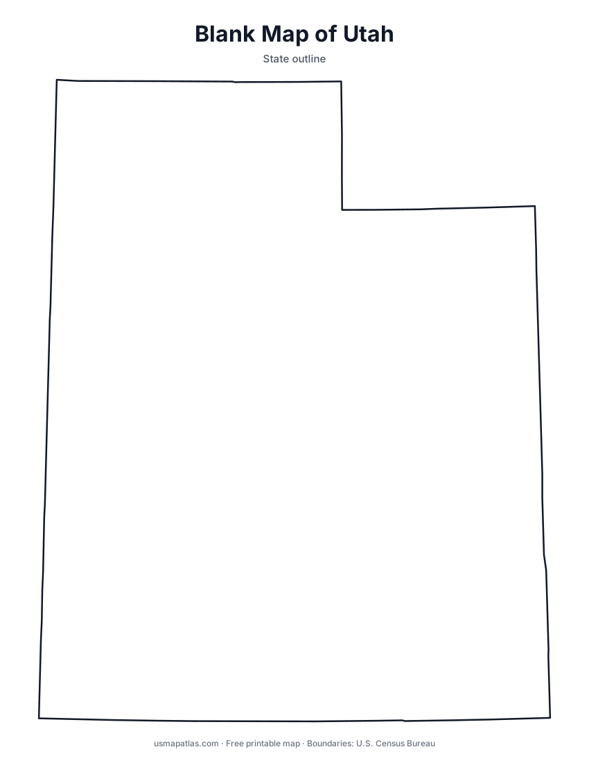
Free printable maps of Utah: a county map with all 29 counties, the same map with every name labeled, a blank outline, a map with the capital and a location map. Download any of them as PDF, PNG or SVG, along with free Utah worksheets.

About Utah
Utah meets Colorado, New Mexico and Arizona at the Four Corners. The Wasatch Range runs through the north-central part of the state, and most people live in the Wasatch Front cities along its western base. West of the mountains is the Great Basin, with the Great Salt Lake and the Bonneville Salt Flats. Southern and eastern Utah are on the Colorado Plateau, home to Arches, Canyonlands, Zion, Bryce Canyon and Capitol Reef national parks. Salt Lake City is the capital and the largest city.
More printable maps of Utah




Utah worksheets
Free printable worksheets for learning about Utah. Each PDF has the worksheet on page 1 and the answer key on page 2.

Utah Geography Worksheet
2-page PDF: worksheet and answer key


States That Border Utah
2-page PDF: worksheet and answer key

List of Utah counties
All 29 counties of Utah, in alphabetical order.
- Beaver
- Box Elder
- Cache
- Carbon
- Daggett
- Davis
- Duchesne
- Emery
- Garfield
- Grand
- Iron
- Juab
- Kane
- Millard
- Morgan
- Piute
- Rich
- Salt Lake
- San Juan
- Sanpete
- Sevier
- Summit
- Tooele
- Uintah
- Utah
- Wasatch
- Washington
- Wayne
- Weber
Frequently asked questions
What is the capital of Utah?
Salt Lake City is the capital of Utah. It is also the state’s largest city.
How many counties are in Utah?
Utah has 29 counties.
What states border Utah?
Utah shares a land border with 5 states: Arizona, Colorado, Idaho, Nevada and Wyoming.
When did Utah become a state?
Utah became a state on January 4, 1896, as the 45th state.