Nevada Maps
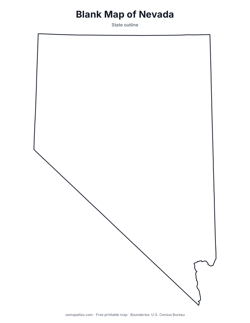
Free printable maps of Nevada: a county map with all 17 counties, the same map with every name labeled, a blank outline, a map with the capital and a location map. Download any of them as PDF, PNG or SVG, along with free Nevada worksheets.

About Nevada
Most of Nevada lies in the Great Basin, a region where rivers drain into inland basins instead of the sea. Hundreds of mountain ranges run north to south, separated by desert valleys. Lake Tahoe sits on the California border near Carson City, and in the south the Colorado River and Lake Mead form the border with Arizona near Hoover Dam. Nevada is the driest state by average rainfall. Carson City, an independent city, is the capital, and Las Vegas is the largest city.
More printable maps of Nevada




Nevada worksheets
Free printable worksheets for learning about Nevada. Each PDF has the worksheet on page 1 and the answer key on page 2.

Nevada Geography Worksheet
2-page PDF: worksheet and answer key


States That Border Nevada
2-page PDF: worksheet and answer key

List of Nevada counties
All 17 counties of Nevada, in alphabetical order.
- Carson City
- Churchill
- Clark
- Douglas
- Elko
- Esmeralda
- Eureka
- Humboldt
- Lander
- Lincoln
- Lyon
- Mineral
- Nye
- Pershing
- Storey
- Washoe
- White Pine
Frequently asked questions
What is the capital of Nevada?
Carson City is the capital of Nevada. The largest city is Las Vegas.
How many counties are in Nevada?
Nevada has 17 counties.
What states border Nevada?
Nevada shares a land border with 5 states: Arizona, California, Idaho, Oregon and Utah.
When did Nevada become a state?
Nevada became a state on October 31, 1864, as the 36th state.