California Maps
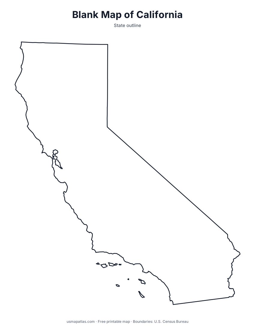
Free printable maps of California: a county map with all 58 counties, the same map with every name labeled, a blank outline, a map with the capital and a location map. Download any of them as PDF, PNG or SVG, along with free California worksheets.

About California
California runs roughly 770 miles along the Pacific coast, from Oregon to Mexico. The Sierra Nevada lines its eastern side and holds Mount Whitney, the highest point in the lower 48 states. Between the Coast Ranges and the Sierra lies the Central Valley, one of the most productive farming regions in the world. The southeast is desert, including Death Valley, the lowest point in North America. Sacramento is the capital, and Los Angeles is the largest city, followed by San Diego, San Jose and San Francisco.
More printable maps of California




California worksheets
Free printable worksheets for learning about California. Each PDF has the worksheet on page 1 and the answer key on page 2.

California Geography Worksheet
2-page PDF: worksheet and answer key


States That Border California
2-page PDF: worksheet and answer key

List of California counties
All 58 counties of California, in alphabetical order.
- Alameda
- Alpine
- Amador
- Butte
- Calaveras
- Colusa
- Contra Costa
- Del Norte
- El Dorado
- Fresno
- Glenn
- Humboldt
- Imperial
- Inyo
- Kern
- Kings
- Lake
- Lassen
- Los Angeles
- Madera
- Marin
- Mariposa
- Mendocino
- Merced
- Modoc
- Mono
- Monterey
- Napa
- Nevada
- Orange
- Placer
- Plumas
- Riverside
- Sacramento
- San Benito
- San Bernardino
- San Diego
- San Francisco
- San Joaquin
- San Luis Obispo
- San Mateo
- Santa Barbara
- Santa Clara
- Santa Cruz
- Shasta
- Sierra
- Siskiyou
- Solano
- Sonoma
- Stanislaus
- Sutter
- Tehama
- Trinity
- Tulare
- Tuolumne
- Ventura
- Yolo
- Yuba
Frequently asked questions
What is the capital of California?
Sacramento is the capital of California. The largest city is Los Angeles.
How many counties are in California?
California has 58 counties.
What states border California?
California shares a land border with 3 states: Arizona, Nevada and Oregon.
When did California become a state?
California became a state on September 9, 1850, as the 31st state.