Florida Maps
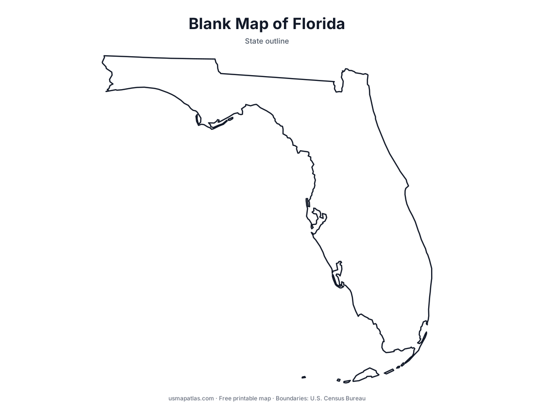
Free printable maps of Florida: a county map with all 67 counties, the same map with every name labeled, a blank outline, a map with the capital and a location map. Download any of them as PDF, PNG or SVG, along with free Florida worksheets.

About Florida
Florida is a long peninsula between the Atlantic Ocean and the Gulf of Mexico, with a panhandle reaching west along the Gulf to Alabama. Most of the state is low and flat; its highest natural point, Britton Hill, is just 345 feet above sea level. The south holds Lake Okeechobee and the Everglades, and the Florida Keys curve southwest to Key West. Florida has the longest coastline in the contiguous United States. Tallahassee is the capital, and Jacksonville is the largest city by population, while Miami anchors the largest metro area.
More printable maps of Florida




Florida worksheets
Free printable worksheets for learning about Florida. Each PDF has the worksheet on page 1 and the answer key on page 2.

Florida Geography Worksheet
2-page PDF: worksheet and answer key


States That Border Florida
2-page PDF: worksheet and answer key

List of Florida counties
All 67 counties of Florida, in alphabetical order.
- Alachua
- Baker
- Bay
- Bradford
- Brevard
- Broward
- Calhoun
- Charlotte
- Citrus
- Clay
- Collier
- Columbia
- DeSoto
- Dixie
- Duval
- Escambia
- Flagler
- Franklin
- Gadsden
- Gilchrist
- Glades
- Gulf
- Hamilton
- Hardee
- Hendry
- Hernando
- Highlands
- Hillsborough
- Holmes
- Indian River
- Jackson
- Jefferson
- Lafayette
- Lake
- Lee
- Leon
- Levy
- Liberty
- Madison
- Manatee
- Marion
- Martin
- Miami-Dade
- Monroe
- Nassau
- Okaloosa
- Okeechobee
- Orange
- Osceola
- Palm Beach
- Pasco
- Pinellas
- Polk
- Putnam
- Santa Rosa
- Sarasota
- Seminole
- St. Johns
- St. Lucie
- Sumter
- Suwannee
- Taylor
- Union
- Volusia
- Wakulla
- Walton
- Washington
Frequently asked questions
What is the capital of Florida?
Tallahassee is the capital of Florida. The largest city is Jacksonville.
How many counties are in Florida?
Florida has 67 counties.
What states border Florida?
Florida shares a land border with 2 states: Alabama and Georgia.
When did Florida become a state?
Florida became a state on March 3, 1845, as the 27th state.