South Dakota Maps
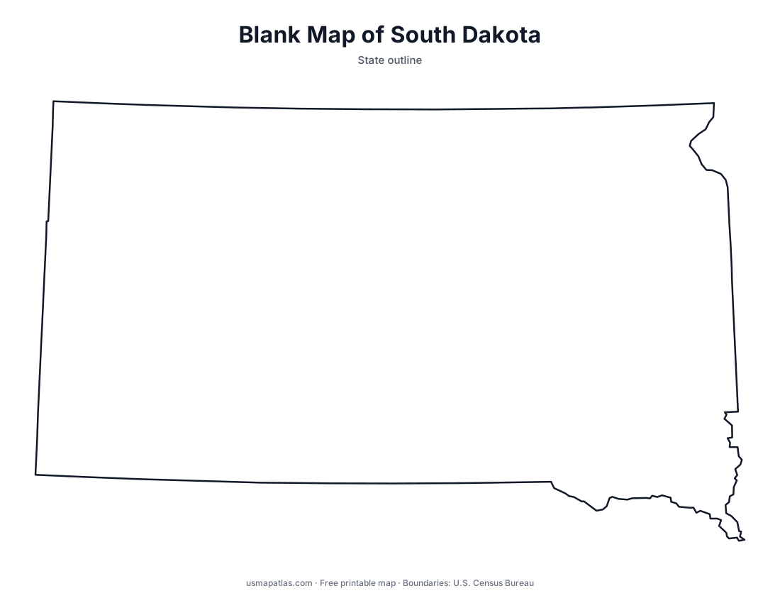
Free printable maps of South Dakota: a county map with all 66 counties, the same map with every name labeled, a blank outline, a map with the capital and a location map. Download any of them as PDF, PNG or SVG, along with free South Dakota worksheets.

About South Dakota
The Missouri River splits South Dakota into two halves that residents call East River and West River. The east has glacial lakes and farmland, while the west has rangeland, the Badlands and the Black Hills, home to Mount Rushmore. Black Elk Peak in the Black Hills is the highest point in the state. Pierre, on the Missouri River, is the capital, and Sioux Falls is the largest city.
More printable maps of South Dakota




South Dakota worksheets
Free printable worksheets for learning about South Dakota. Each PDF has the worksheet on page 1 and the answer key on page 2.

South Dakota Geography Worksheet
2-page PDF: worksheet and answer key


States That Border South Dakota
2-page PDF: worksheet and answer key

List of South Dakota counties
All 66 counties of South Dakota, in alphabetical order.
- Aurora
- Beadle
- Bennett
- Bon Homme
- Brookings
- Brown
- Brule
- Buffalo
- Butte
- Campbell
- Charles Mix
- Clark
- Clay
- Codington
- Corson
- Custer
- Davison
- Day
- Deuel
- Dewey
- Douglas
- Edmunds
- Fall River
- Faulk
- Grant
- Gregory
- Haakon
- Hamlin
- Hand
- Hanson
- Harding
- Hughes
- Hutchinson
- Hyde
- Jackson
- Jerauld
- Jones
- Kingsbury
- Lake
- Lawrence
- Lincoln
- Lyman
- Marshall
- McCook
- McPherson
- Meade
- Mellette
- Miner
- Minnehaha
- Moody
- Oglala Lakota
- Pennington
- Perkins
- Potter
- Roberts
- Sanborn
- Spink
- Stanley
- Sully
- Todd
- Tripp
- Turner
- Union
- Walworth
- Yankton
- Ziebach
Frequently asked questions
What is the capital of South Dakota?
Pierre is the capital of South Dakota. The largest city is Sioux Falls.
How many counties are in South Dakota?
South Dakota has 66 counties.
What states border South Dakota?
South Dakota shares a land border with 6 states: Iowa, Minnesota, Montana, Nebraska, North Dakota and Wyoming.
When did South Dakota become a state?
South Dakota became a state on November 2, 1889, as the 40th state.