Iowa Maps
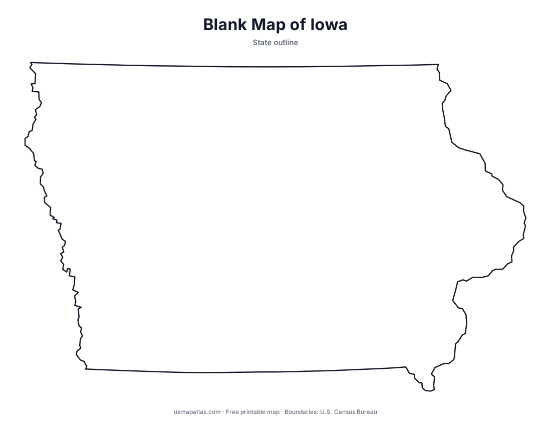
Free printable maps of Iowa: a county map with all 99 counties, the same map with every name labeled, a blank outline, a map with the capital and a location map. Download any of them as PDF, PNG or SVG, along with free Iowa worksheets.

About Iowa
Iowa is bounded by two great rivers: the Mississippi on the east and the Missouri and Big Sioux on the west. Gently rolling prairie covers most of the state, and most of the land is farmed, making Iowa one of the top producers of corn and soybeans. The Loess Hills rise along the Missouri River, and the Driftless Area in the northeast has bluffs and valleys that the last glaciers never flattened. Des Moines is the capital and the largest city.
More printable maps of Iowa




Iowa worksheets
Free printable worksheets for learning about Iowa. Each PDF has the worksheet on page 1 and the answer key on page 2.

Iowa Geography Worksheet
2-page PDF: worksheet and answer key


States That Border Iowa
2-page PDF: worksheet and answer key

List of Iowa counties
All 99 counties of Iowa, in alphabetical order.
- Adair
- Adams
- Allamakee
- Appanoose
- Audubon
- Benton
- Black Hawk
- Boone
- Bremer
- Buchanan
- Buena Vista
- Butler
- Calhoun
- Carroll
- Cass
- Cedar
- Cerro Gordo
- Cherokee
- Chickasaw
- Clarke
- Clay
- Clayton
- Clinton
- Crawford
- Dallas
- Davis
- Decatur
- Delaware
- Des Moines
- Dickinson
- Dubuque
- Emmet
- Fayette
- Floyd
- Franklin
- Fremont
- Greene
- Grundy
- Guthrie
- Hamilton
- Hancock
- Hardin
- Harrison
- Henry
- Howard
- Humboldt
- Ida
- Iowa
- Jackson
- Jasper
- Jefferson
- Johnson
- Jones
- Keokuk
- Kossuth
- Lee
- Linn
- Louisa
- Lucas
- Lyon
- Madison
- Mahaska
- Marion
- Marshall
- Mills
- Mitchell
- Monona
- Monroe
- Montgomery
- Muscatine
- O'Brien
- Osceola
- Page
- Palo Alto
- Plymouth
- Pocahontas
- Polk
- Pottawattamie
- Poweshiek
- Ringgold
- Sac
- Scott
- Shelby
- Sioux
- Story
- Tama
- Taylor
- Union
- Van Buren
- Wapello
- Warren
- Washington
- Wayne
- Webster
- Winnebago
- Winneshiek
- Woodbury
- Worth
- Wright
Frequently asked questions
What is the capital of Iowa?
Des Moines is the capital of Iowa. It is also the state’s largest city.
How many counties are in Iowa?
Iowa has 99 counties.
What states border Iowa?
Iowa shares a land border with 6 states: Illinois, Minnesota, Missouri, Nebraska, South Dakota and Wisconsin.
When did Iowa become a state?
Iowa became a state on December 28, 1846, as the 29th state.