Wisconsin Maps
Free printable maps of Wisconsin: a county map with all 72 counties, the same map with every name labeled, a blank outline, a map with the capital and a location map. Download any of them as PDF, PNG or SVG, along with free Wisconsin worksheets.

About Wisconsin
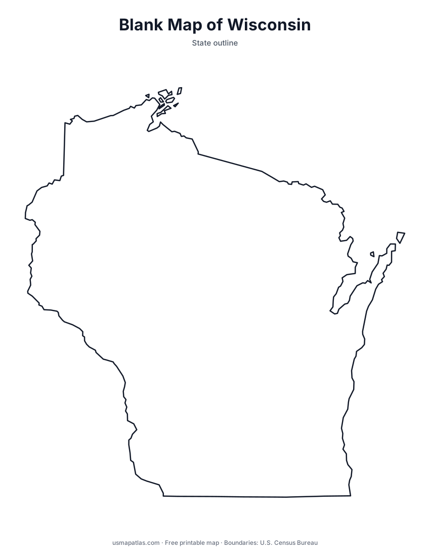
Wisconsin lies between Lake Michigan and Lake Superior, with the Mississippi and St. Croix rivers forming its western border with Minnesota and Iowa. The Door Peninsula separates Green Bay from the rest of Lake Michigan. The north is forested and full of lakes, while the southwest belongs to the hilly Driftless Area. Madison, the capital, sits between Lake Mendota and Lake Monona, and Milwaukee, on Lake Michigan, is the largest city.
More printable maps of Wisconsin




Wisconsin worksheets
Free printable worksheets for learning about Wisconsin. Each PDF has the worksheet on page 1 and the answer key on page 2.

Wisconsin Geography Worksheet
2-page PDF: worksheet and answer key


States That Border Wisconsin
2-page PDF: worksheet and answer key

List of Wisconsin counties
All 72 counties of Wisconsin, in alphabetical order.
- Adams
- Ashland
- Barron
- Bayfield
- Brown
- Buffalo
- Burnett
- Calumet
- Chippewa
- Clark
- Columbia
- Crawford
- Dane
- Dodge
- Door
- Douglas
- Dunn
- Eau Claire
- Florence
- Fond du Lac
- Forest
- Grant
- Green
- Green Lake
- Iowa
- Iron
- Jackson
- Jefferson
- Juneau
- Kenosha
- Kewaunee
- La Crosse
- Lafayette
- Langlade
- Lincoln
- Manitowoc
- Marathon
- Marinette
- Marquette
- Menominee
- Milwaukee
- Monroe
- Oconto
- Oneida
- Outagamie
- Ozaukee
- Pepin
- Pierce
- Polk
- Portage
- Price
- Racine
- Richland
- Rock
- Rusk
- Sauk
- Sawyer
- Shawano
- Sheboygan
- St. Croix
- Taylor
- Trempealeau
- Vernon
- Vilas
- Walworth
- Washburn
- Washington
- Waukesha
- Waupaca
- Waushara
- Winnebago
- Wood
Frequently asked questions
What is the capital of Wisconsin?
Madison is the capital of Wisconsin. The largest city is Milwaukee.
How many counties are in Wisconsin?
Wisconsin has 72 counties.
What states border Wisconsin?
Wisconsin shares a land border with 4 states: Illinois, Iowa, Michigan and Minnesota.
When did Wisconsin become a state?
Wisconsin became a state on May 29, 1848, as the 30th state.