Maine Maps
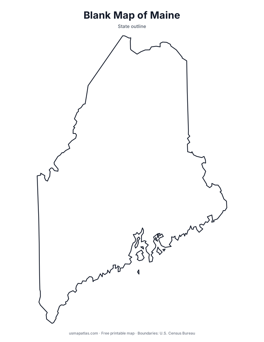
Free printable maps of Maine: a county map with all 16 counties, the same map with every name labeled, a blank outline, a map with the capital and a location map. Download any of them as PDF, PNG or SVG, along with free Maine worksheets.

About Maine
Maine is the northeasternmost state and the largest in New England. It is the only state that borders just one other state, New Hampshire; Canada lies to the north and east. Its rocky Atlantic coast is cut by bays and dotted with thousands of islands. Forests cover most of the interior, and Mount Katahdin, the highest point, marks the northern end of the Appalachian Trail. Augusta is the capital, and Portland is the largest city.
More printable maps of Maine




Maine worksheets
Free printable worksheets for learning about Maine. Each PDF has the worksheet on page 1 and the answer key on page 2.

Maine Geography Worksheet
2-page PDF: worksheet and answer key


States That Border Maine
2-page PDF: worksheet and answer key

List of Maine counties
All 16 counties of Maine, in alphabetical order.
- Androscoggin
- Aroostook
- Cumberland
- Franklin
- Hancock
- Kennebec
- Knox
- Lincoln
- Oxford
- Penobscot
- Piscataquis
- Sagadahoc
- Somerset
- Waldo
- Washington
- York
Frequently asked questions
What is the capital of Maine?
Augusta is the capital of Maine. The largest city is Portland.
How many counties are in Maine?
Maine has 16 counties.
What states border Maine?
Maine shares a land border with 1 state: New Hampshire.
When did Maine become a state?
Maine became a state on March 15, 1820, as the 23rd state.