Massachusetts Maps
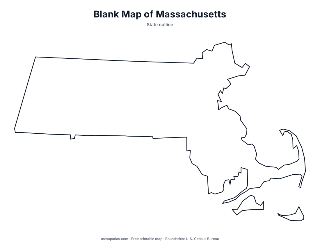
Free printable maps of Massachusetts: a county map with all 14 counties, the same map with every name labeled, a blank outline, a map with the capital and a location map. Download any of them as PDF, PNG or SVG, along with free Massachusetts worksheets.

About Massachusetts
Massachusetts is the most populous state in New England. Cape Cod curls into the Atlantic in the southeast, with the islands of Martha's Vineyard and Nantucket to its south. The Connecticut River Valley runs through the middle of the state, and the Berkshire Hills rise in the west, where Mount Greylock is the highest point. Boston, on Massachusetts Bay, is both the capital and the largest city.
More printable maps of Massachusetts




Massachusetts worksheets
Free printable worksheets for learning about Massachusetts. Each PDF has the worksheet on page 1 and the answer key on page 2.

Massachusetts Geography Worksheet
2-page PDF: worksheet and answer key


States That Border Massachusetts
2-page PDF: worksheet and answer key

List of Massachusetts counties
All 14 counties of Massachusetts, in alphabetical order.
- Barnstable
- Berkshire
- Bristol
- Dukes
- Essex
- Franklin
- Hampden
- Hampshire
- Middlesex
- Nantucket
- Norfolk
- Plymouth
- Suffolk
- Worcester
Frequently asked questions
What is the capital of Massachusetts?
Boston is the capital of Massachusetts. It is also the state’s largest city.
How many counties are in Massachusetts?
Massachusetts has 14 counties.
What states border Massachusetts?
Massachusetts shares a land border with 5 states: Connecticut, New Hampshire, New York, Rhode Island and Vermont.
When did Massachusetts become a state?
Massachusetts became a state on February 6, 1788, as the 6th state.